Transport Functions
Port
Airport
Hub Profile
Place type
Provincial seat
Region
Nebraska
Population
486,051
Time zone
America/Chicago
Elevation
323 m
Logistics facilities
25
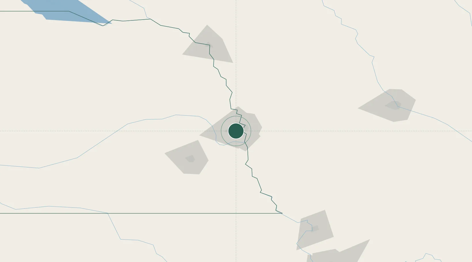
Location
Nearby Logistics Neighbours
Cities
- 1La Vista8 km
- 2Elkhorn20 km
- 3Gretna21 km
- 4Fort Calhoun25 km
- 5Yutan31 km
Airports
Trade Zones
- 1FTZ No. 059 Lincoln83 km
- 2FTZ No. 133 Quad-Cities, Iowa Illinois122 km
- 3FTZ No. 107 Polk County198 km
- 4FTZ No. 288 Northwest Iowa216 km
- 5FTZ No. 017 Kansas City256 km
DatabookThe Record of Consolidated Knowledge
United States beyond logistics?