UN/LOCODE hub · United States
USFWT

Fort Worth

32.8121°, -97.2756°
1,008,106
Population
3
Transport functions

Transport Functions

Rail
Road
Airport
UN/LOCODE

Hub Profile

Place type
Provincial seat
GeoNames
Region
Texas
GeoNames
Population
1,008,106
GeoNames
Time zone
America/Chicago
GeoNames
Elevation
199 m
GeoNames
Logistics facilities
23
UN/LOCODE

Location

Location of USFWT
Natural Earth 10m (public domain) · Texas · USFWT · 32.81, -97.28GoogleOSMYandex

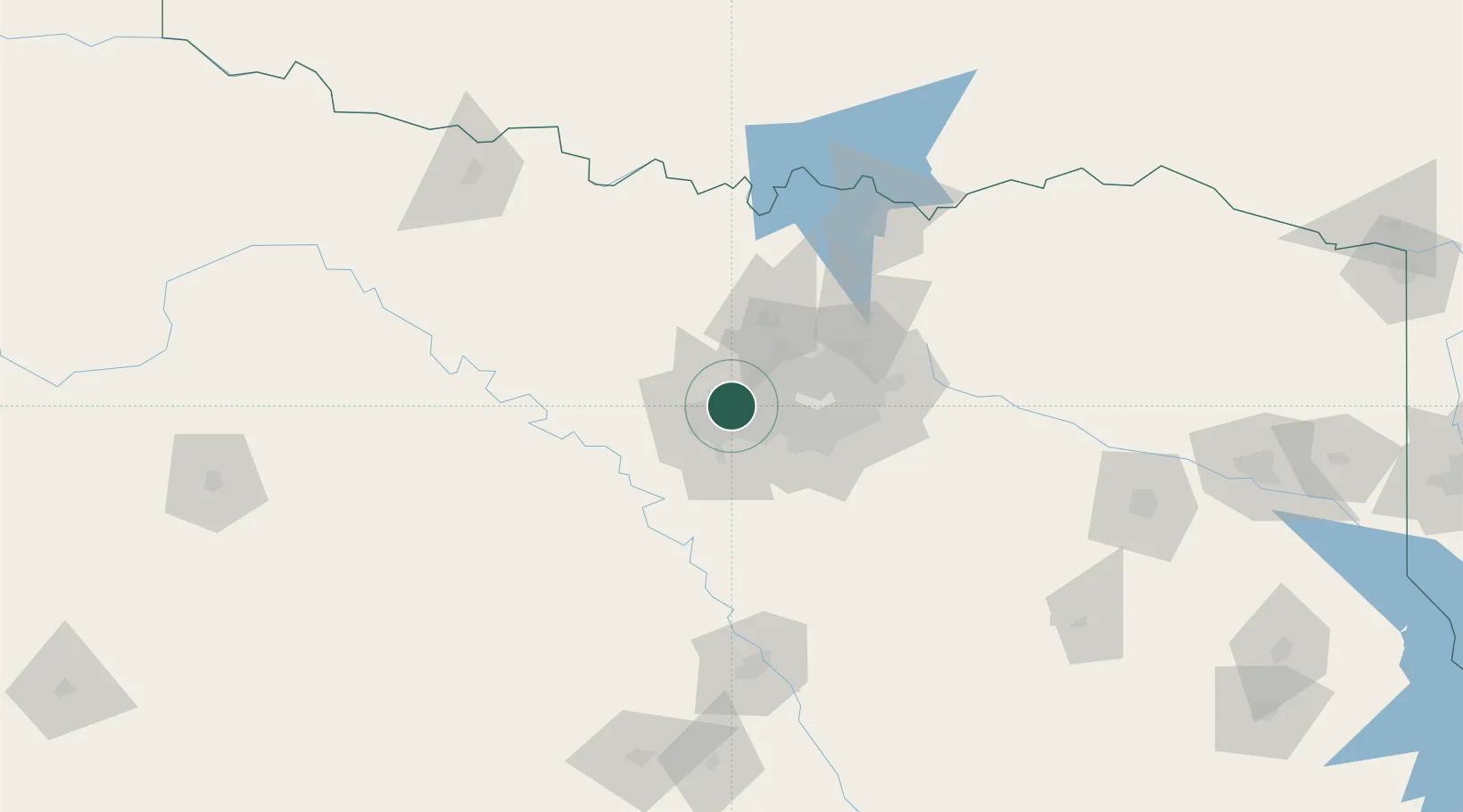
Nearby Logistics Neighbours

Cities
  1. 1Colleyville14 km
  2. 2Haslet19 km
  3. 3Westlake20 km
  4. 4Grapevine24 km
  5. 5Azle25 km
Nearest neighbours — logibook spatial index (haversine) over the source coordinates
Ports
  1. 1Deer Park387 km
  2. 2Houston390 km
  3. 3Pasadena396 km
  4. 4Baytown404 km
  5. 5Beaumont429 km
Nearest neighbours — logibook spatial index (haversine) over the source coordinates
Airports
  1. 1Fort Worth Meacham International Airport8 km
  2. 2NAS Fort Worth JRB / Carswell Field16 km
  3. 3Perot Field/Fort Worth Alliance Airport20 km
  4. 4Dallas Fort Worth International Airport24 km
  5. 5Dallas Love Field40 km
Nearest neighbours — logibook spatial index (haversine) over the source coordinates
Trade Zones
  1. 1FTZ No. 168 Dallas Fort Worth25 km
  2. 2FTZ No. 196 Fort Worth28 km
  3. 3FTZ No. 113 Ellis County62 km
  4. 4FTZ No. 039 Dallas Fort Worth76 km
  5. 5FTZ No. 246 Waco140 km
Nearest neighbours — logibook spatial index (haversine) over the source coordinates
DatabookThe Record of Consolidated Knowledge
United States beyond logistics?
Browse databook

All Sources

LocationsUN/LOCODE
UN/LOCODE — free
LocationsGeoNames
CC BY 4.0
Portsthe NGA World Port Index
Public domain (US gov)
AirportsOurAirports
Public domain
Trade Zonesthe World Bank SEZ database
CC BY 4.0
Trade ZonesOpen Zone Map
CC BY
← United States locations