Transport Functions
Port
Road
Hub Profile
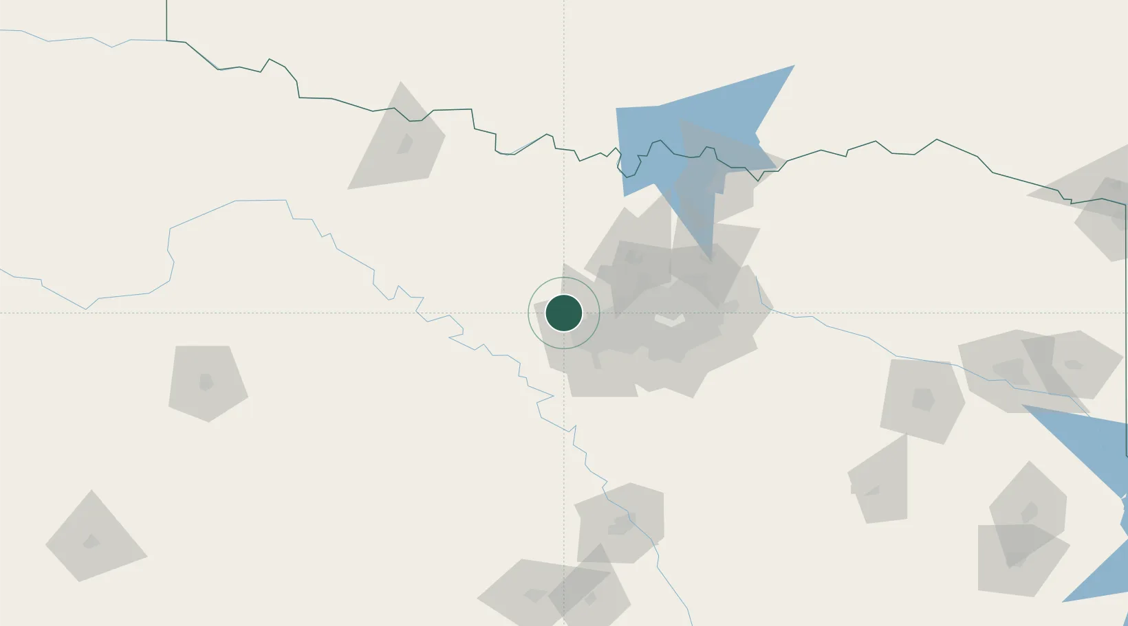
Place type
Populated place
Region
Texas
Population
11,693
Time zone
America/Chicago
Elevation
217 m
Location
Nearby Logistics Neighbours
Cities
- 1Newark14 km
- 2Haslet17 km
- 3Willow Park18 km
- 4Aledo21 km
- 5Fort Worth25 km
Airports
Trade Zones
- 1FTZ No. 196 Fort Worth10 km
- 2FTZ No. 168 Dallas Fort Worth16 km
- 3FTZ No. 039 Dallas Fort Worth54 km
- 4FTZ No. 113 Ellis County81 km
- 5FTZ No. 246 Waco150 km
DatabookThe Record of Consolidated Knowledge
United States beyond logistics?