Transport Functions
Rail
Road
Multimodal
Hub Profile
Place type
Populated place
Region
Texas
Population
1,786
Time zone
America/Chicago
Elevation
214 m
Logistics facilities
5
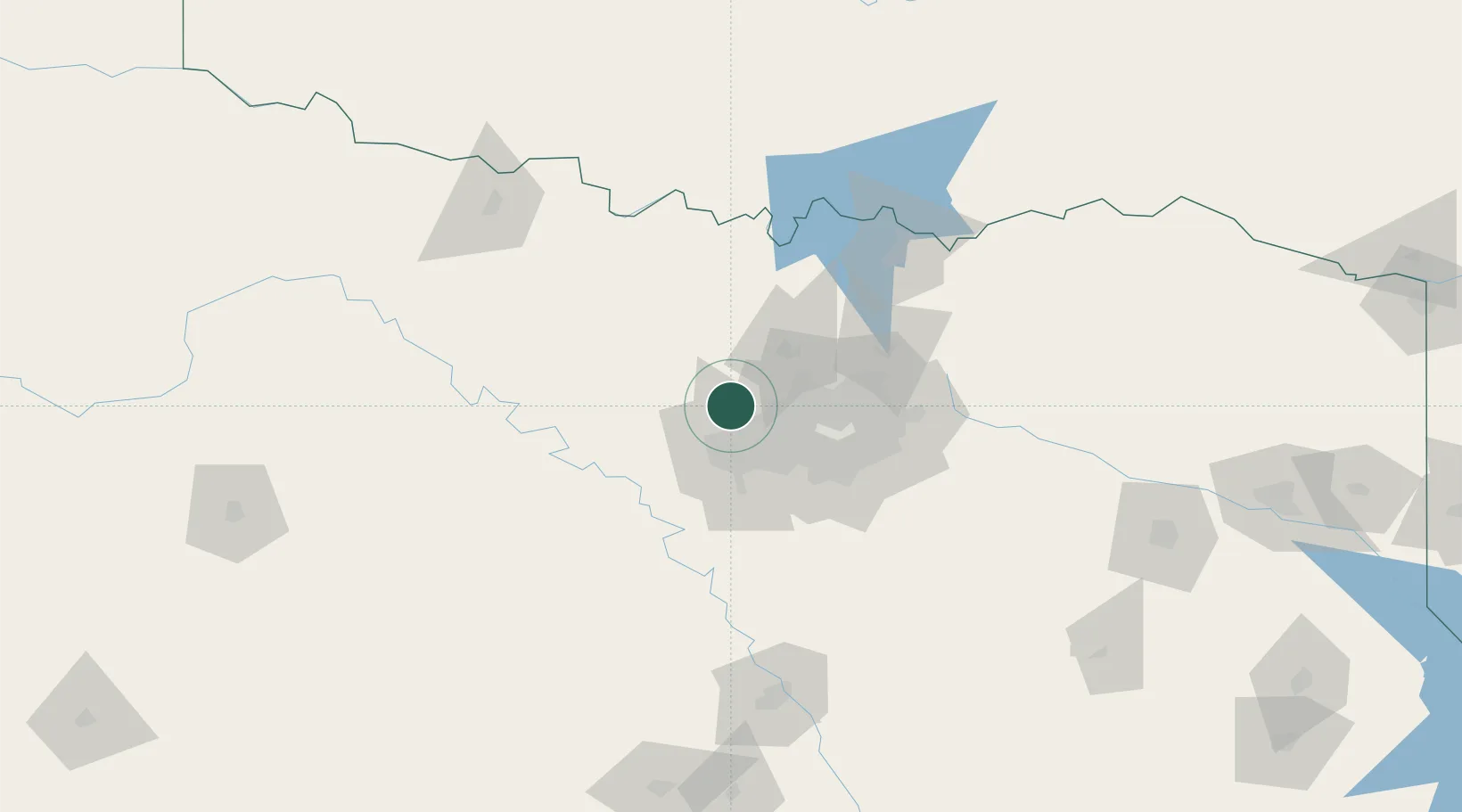
Location
Nearby Logistics Neighbours
Cities
- 1Newark11 km
- 2Westlake17 km
- 3Azle17 km
- 4Justin18 km
- 5Fort Worth19 km
Airports
Trade Zones
- 1FTZ No. 196 Fort Worth25 km
- 2FTZ No. 168 Dallas Fort Worth28 km
- 3FTZ No. 039 Dallas Fort Worth71 km
- 4FTZ No. 113 Ellis County81 km
- 5FTZ No. 227 Durant148 km
DatabookThe Record of Consolidated Knowledge
United States beyond logistics?