Transport Functions
Rail
Road
Hub Profile
Place type
Provincial seat
Region
Nebraska
Population
3,339
Time zone
America/Chicago
Elevation
300 m
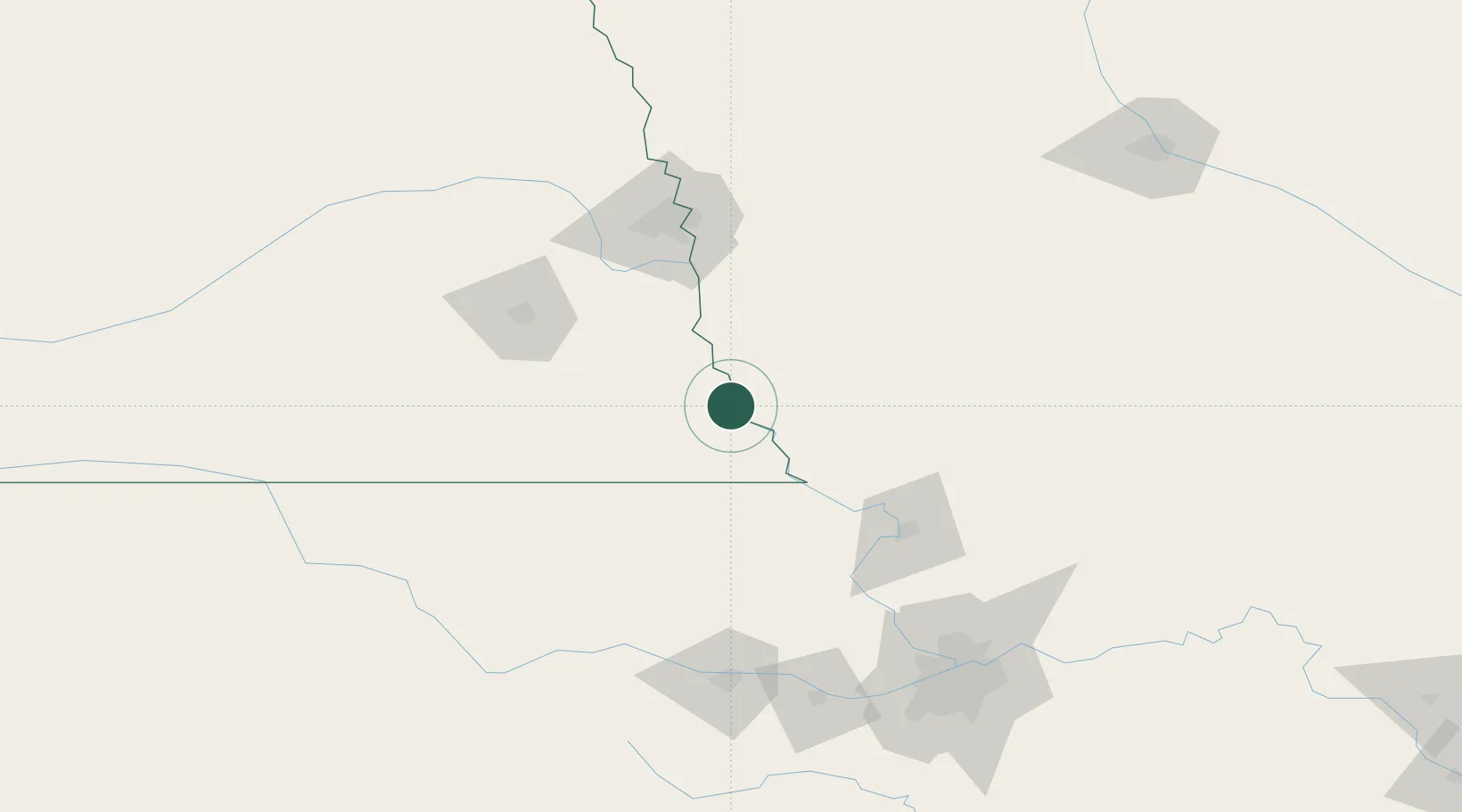
Location
Nearby Logistics Neighbours
Cities
- 1Fairfax26 km
- 2Falls City36 km
- 3Nebraska City36 km
- 4Farragut42 km
- 5Syracuse53 km
Ports
- 1Kaukauna749 km
- 2Port Of Memphis763 km
- 3Superior765 km
- 4Duluth768 km
- 5Green Bay780 km
Airports
- 1Offutt Air Force Base86 km
- 2Rosecrans Memorial Airport93 km
- 3Lincoln Airport105 km
- 4Eppley Airfield106 km
- 5Philip Billard Municipal Airport144 km
Trade Zones
- 1FTZ No. 133 Quad-Cities, Iowa Illinois59 km
- 2FTZ No. 059 Lincoln108 km
- 3FTZ No. 017 Kansas City159 km
- 4FTZ No. 015 Kansas City183 km
- 5FTZ No. 107 Polk County220 km
DatabookThe Record of Consolidated Knowledge
United States beyond logistics?