Transport Functions
Rail
Road
Multimodal
Hub Profile
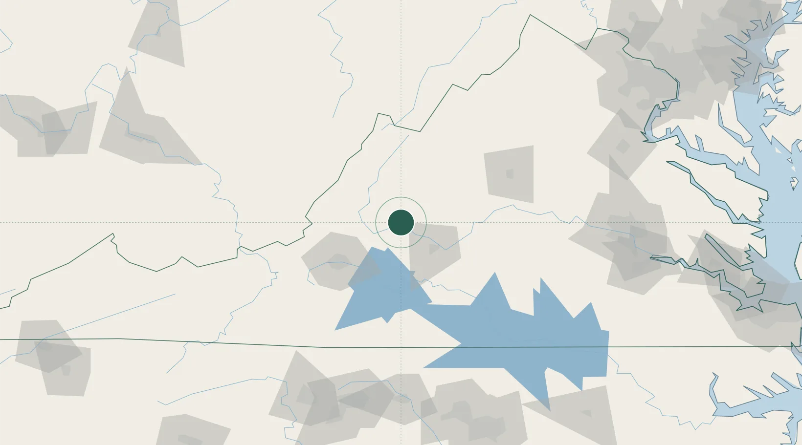
Place type
Populated place
Region
Virginia
Population
1,115
Time zone
America/New_York
Elevation
225 m
Location
Nearby Logistics Neighbours
Cities
- 1Buena Vista13 km
- 2Buchanan23 km
- 3Eagle Rock, Botetourt31 km
- 4Monroe32 km
- 5Forest33 km
Ports
- 1Richmond180 km
- 2Fredericksburg190 km
- 3West Point234 km
- 4Alexandria248 km
- 5Washington D.C.252 km
Airports
Trade Zones
- 1FTZ No. 238 Dublin126 km
- 2FTZ No. 185 Culpeper County155 km
- 3FTZ No. 207 Richmond167 km
- 4FTZ No. 230 Piedmont Triad Area172 km
- 5FTZ No. 093 Raleigh Durham198 km
DatabookThe Record of Consolidated Knowledge
United States beyond logistics?