UN/LOCODE hub · United States
USFNB
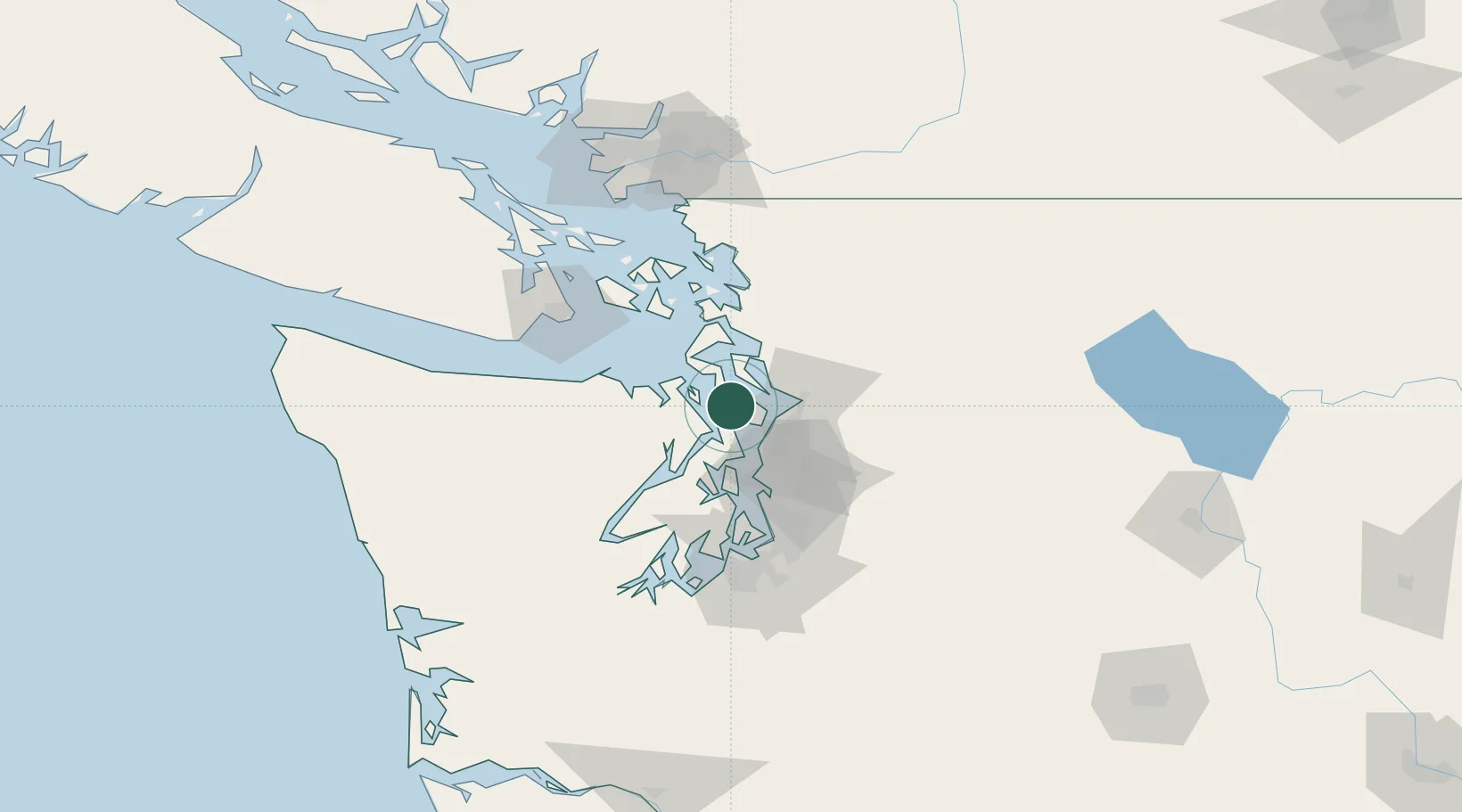
Freeland
48.0000°, -122.5333°
2,045
Population
2
Transport functions
Transport Functions
Port
Road
Hub Profile
Place type
Populated place
Region
Washington
Population
2,045
Time zone
America/Los_Angeles
Elevation
33 m
Location
Nearby Logistics Neighbours
Cities
- 1Port Ludlow15 km
- 2Port Gamble17 km
- 3Port Hadlock18 km
- 4Mukilteo18 km
- 5Tulalip20 km
Ports
- 1Port Gamble17 km
- 2Mukilteo18 km
- 3Port Townsend21 km
- 4Everett24 km
- 5Point Wells26 km
Airports
Trade Zones
- 1FTZ No. 085 Everett24 km
- 2FTZ No. 005 Seattle43 km
- 3FTZ No. 086 Tacoma82 km
- 4FTZ No. 212 Tacoma84 km
- 5FTZ No. 129 Bellingham84 km
DatabookThe Record of Consolidated Knowledge
United States beyond logistics?