Transport Functions
Multimodal
Hub Profile
Place type
Populated place
Region
Ohio
Time zone
America/New_York
Elevation
255 m
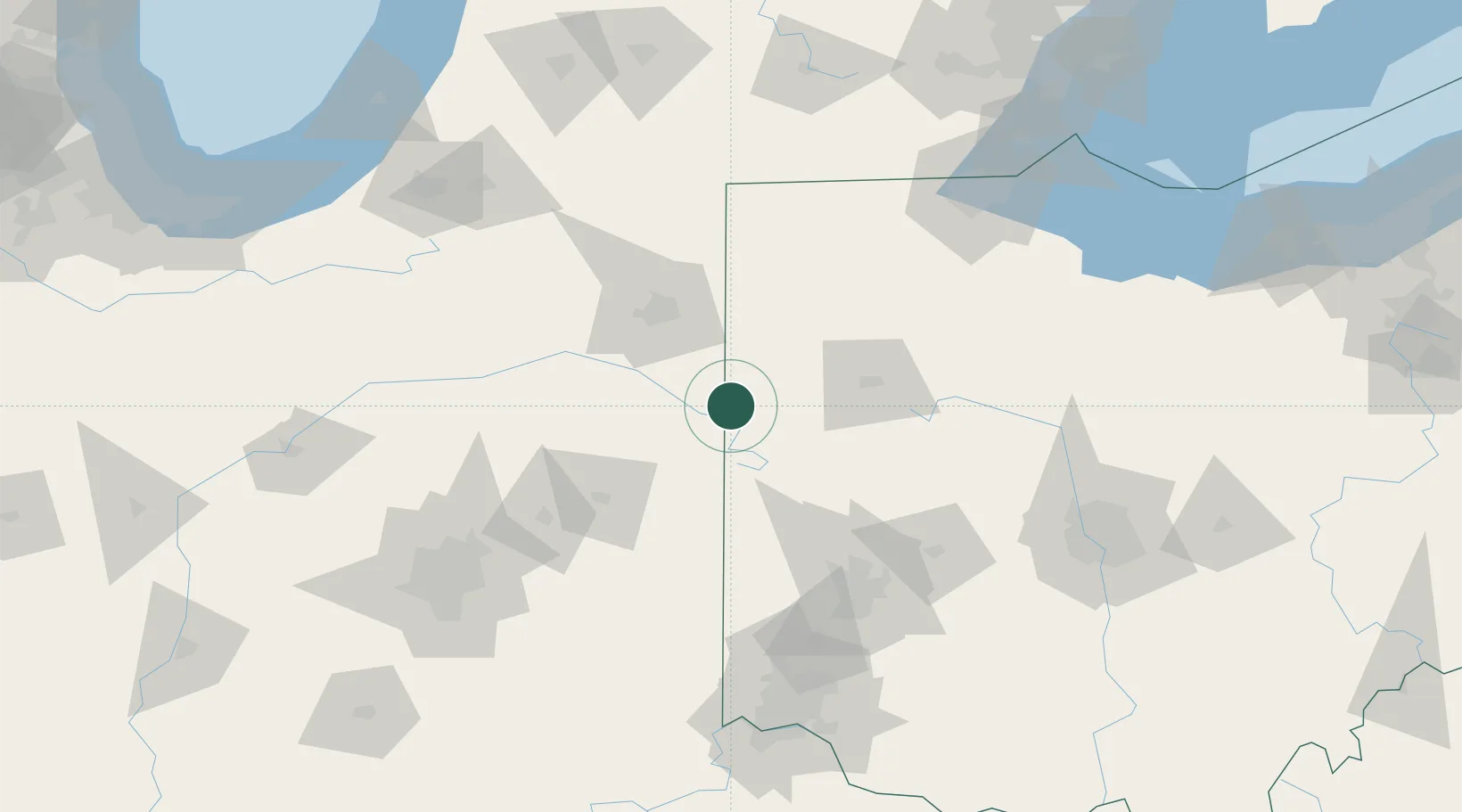
Location
Nearby Logistics Neighbours
Cities
- 1Claves12 km
- 2Berne14 km
- 3Fort Recovery26 km
- 4Saint Henry27 km
- 5Convoy32 km
Ports
- 1Toledo162 km
- 2Port Clinton184 km
- 3Monroe184 km
- 4Sandusky196 km
- 5Put In Bay200 km
Airports
Trade Zones
- 1FTZ No. 182 Fort Wayne66 km
- 2FTZ No. 151 Findlay102 km
- 3FTZ No. 100 Dayton102 km
- 4FTZ No. 008 Toledo155 km
- 5FTZ No. 054 Clinton County158 km
DatabookThe Record of Consolidated Knowledge
United States beyond logistics?