UN/LOCODE hub · United States
USFVR
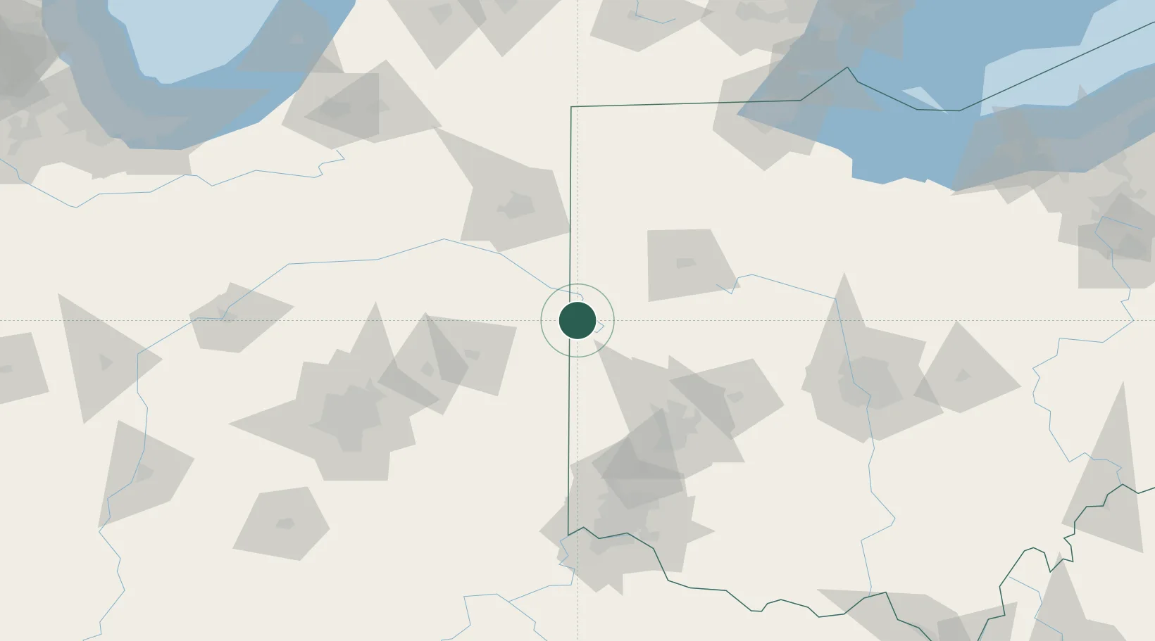
Fort Recovery
40.4000°, -84.7667°
1,429
Population
2
Transport functions
Transport Functions
Port
Road
Hub Profile
Place type
Populated place
Region
Ohio
Population
1,429
Time zone
America/New_York
Elevation
287 m
Location
Nearby Logistics Neighbours
Cities
- 1Saint Henry11 km
- 2New Weston14 km
- 3Claves15 km
- 4Chattanooga26 km
- 5Versailles32 km
Ports
- 1Toledo181 km
- 2Port Clinton198 km
- 3Monroe204 km
- 4Sandusky208 km
- 5Put In Bay215 km
Airports
Trade Zones
- 1FTZ No. 100 Dayton79 km
- 2FTZ No. 182 Fort Wayne88 km
- 3FTZ No. 151 Findlay115 km
- 4FTZ No. 054 Clinton County136 km
- 5FTZ No. 046 CIncinnati146 km
DatabookThe Record of Consolidated Knowledge
United States beyond logistics?