Transport Functions
Port
Multimodal
Hub Profile
Region
OH
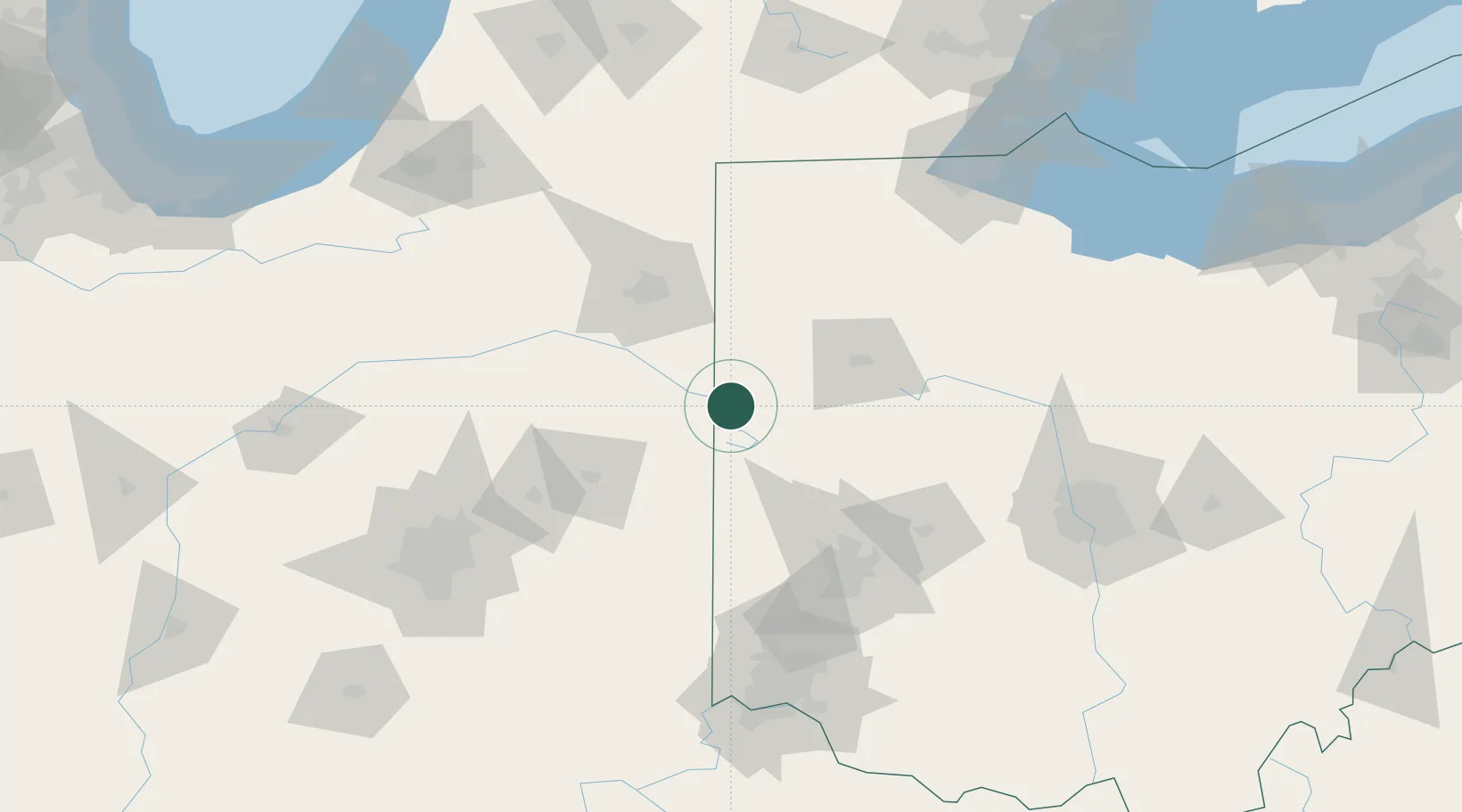
Location
Nearby Logistics Neighbours
Cities
- 1Chattanooga12 km
- 2Fort Recovery15 km
- 3Saint Henry16 km
- 4Berne22 km
- 5New Weston24 km
Ports
- 1Toledo168 km
- 2Port Clinton186 km
- 3Monroe190 km
- 4Sandusky198 km
- 5Put In Bay203 km
Airports
Trade Zones
- 1FTZ No. 182 Fort Wayne77 km
- 2FTZ No. 100 Dayton90 km
- 3FTZ No. 151 Findlay103 km
- 4FTZ No. 054 Clinton County147 km
- 5FTZ No. 008 Toledo160 km
DatabookThe Record of Consolidated Knowledge
United States beyond logistics?