Transport Functions
Rail
Road
Hub Profile
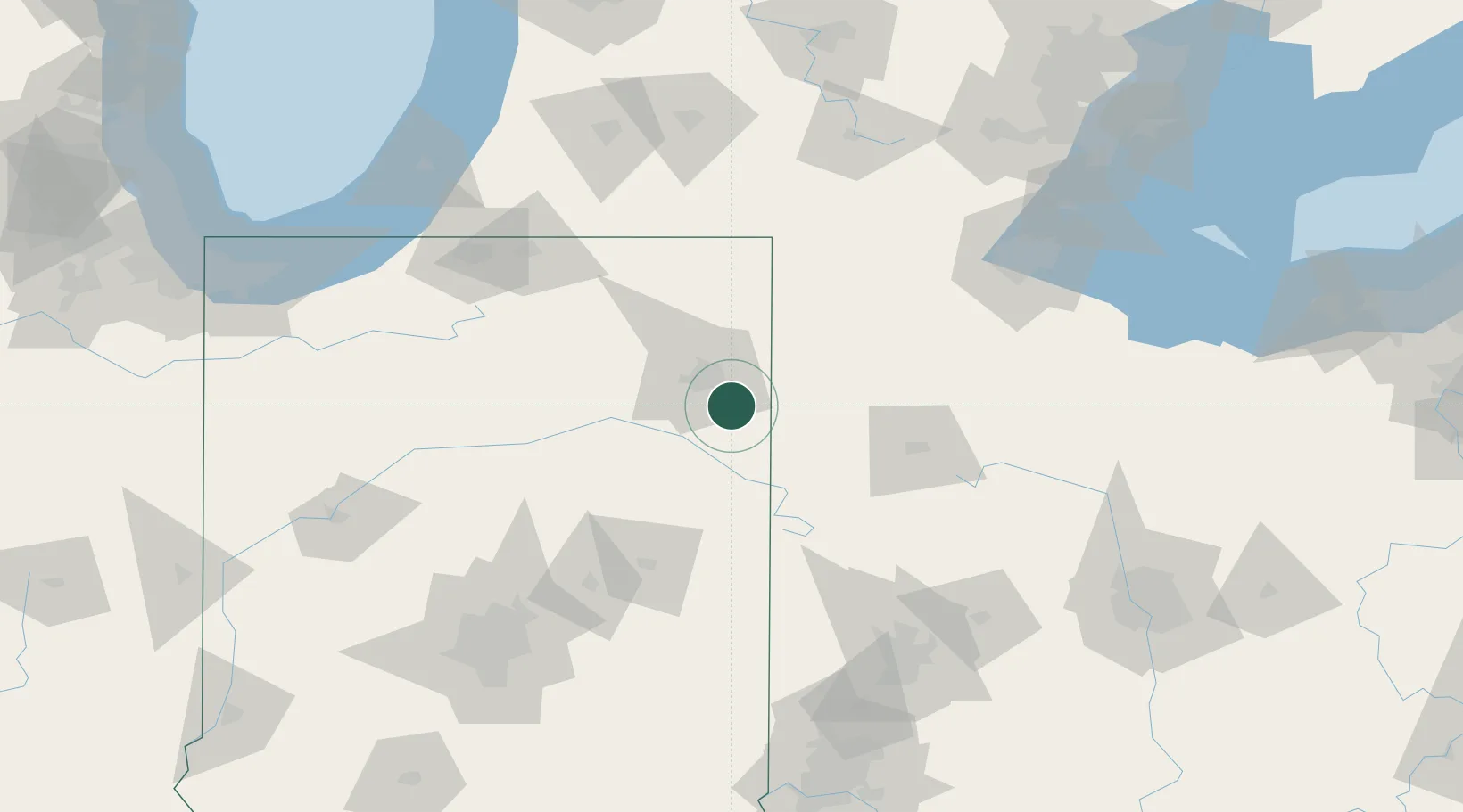
Place type
Populated place
Region
Indiana
Population
821
Time zone
America/Indiana/Indianapolis
Elevation
251 m
Location
Nearby Logistics Neighbours
Ports
- 1Toledo153 km
- 2Monroe173 km
- 3St Joseph179 km
- 4Michigan City181 km
- 5Port Clinton184 km
Airports
Trade Zones
- 1FTZ No. 182 Fort Wayne29 km
- 2FTZ No. 151 Findlay109 km
- 3FTZ No. 125 South Bend138 km
- 4FTZ No. 100 Dayton142 km
- 5FTZ No. 008 Toledo146 km
DatabookThe Record of Consolidated Knowledge
United States beyond logistics?