Transport Functions
Road
Multimodal
Hub Profile
Place type
Populated place
Region
Texas
Population
267
Time zone
America/Chicago
Elevation
146 m
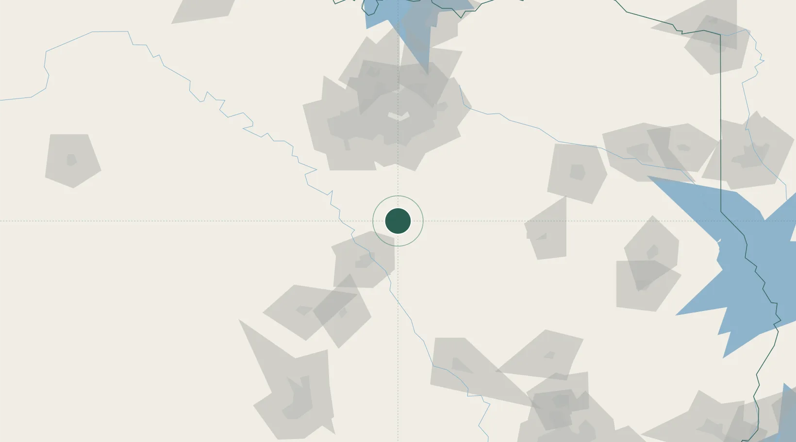
Location
Nearby Logistics Neighbours
Airports
Trade Zones
- 1FTZ No. 113 Ellis County45 km
- 2FTZ No. 246 Waco54 km
- 3FTZ No. 269 Athens99 km
- 4FTZ No. 168 Dallas Fort Worth110 km
- 5FTZ No. 196 Fort Worth118 km
DatabookThe Record of Consolidated Knowledge
United States beyond logistics?