Medium airport · Canada
Sherbrooke AirportCYSC
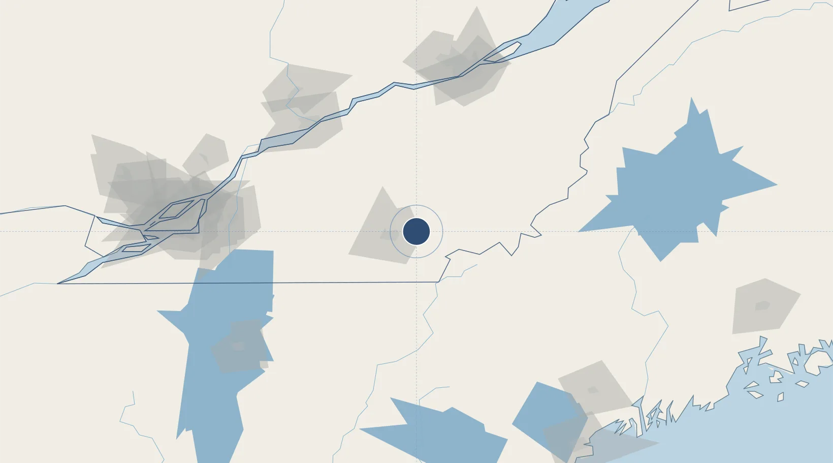
45.4386°, -71.6914°
6,000 ft
Longest runway
2
Runways
792 ft
Elevation
Runway & Layout

Radio Frequencies
AWOS
126.25 MHz
A/G
123.5 MHz
MF
CNTR
132.55 MHz
MONTREAL CNTR
UNIC
123.5 MHz
ATF/UNICOM
Runways · 2
| Runway | Dimensions | Surface | True heading | Lit |
|---|---|---|---|---|
| 13/31 | 6,000 × 150ft | Asphalt | 119° | ✓ |
| 14/32 | 6,000 × 150ft | ASPH | — | — |
Airport Specifications
IATA code
YSC
ICAO code
CYSC
Airport class
Medium airport
Scheduled service
No
Runway surface
Asphalt
Served city
Sherbrooke
Location
Nearby Logistics Neighbours
Airports
- 1Bromont (Roland Désourdy) Airport84 km
- 2Saint-Georges Airport105 km
- 3St Jean Airport125 km
- 4Trois-Rivières Airport127 km
- 5Montréal / Saint-Hubert Metropolitan Airport135 km
Cities
- 1East Angus5 km
- 2Cookshire7 km
- 3Waterville23 km
- 4Saint-Isidore d'Auckland24 km
- 5Windsor28 km
Ports
- 1Port De Becancour120 km
- 2Trois Rivieres121 km
- 3Contrecour127 km
- 4Sorel130 km
- 5Montreal145 km
Trade Zones
- 1Greater Montreal Free Zone Center146 km
- 2Québec City FTZ158 km
- 3FTZ No. 186 Waterville186 km
- 4FTZ No. 263 Auburn190 km
- 5FTZ No. 058 Bangor236 km
DatabookThe Record of Consolidated Knowledge
Canada beyond logistics?