Medium airport · United States
Sioux Gateway Airport / Brigadier General Bud Day FieldKSUX
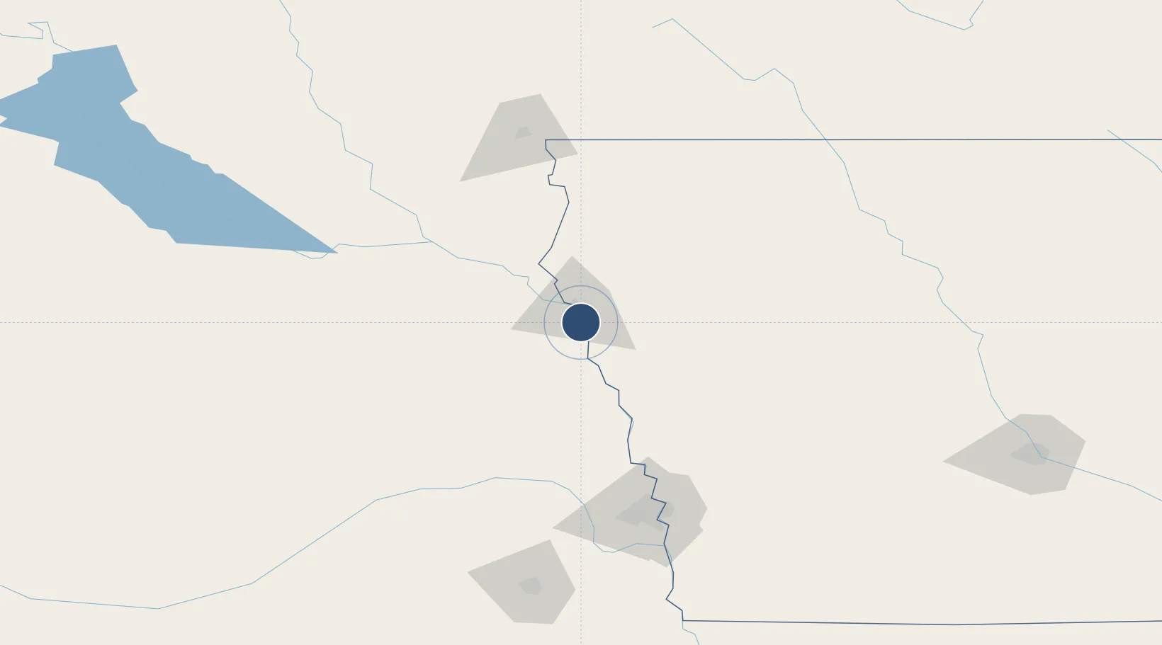
42.3976°, -96.3822°
9,002 ft
Longest runway
2
Runways
1,098 ft
Elevation
Runway & Layout

Radio Frequencies
ATIS
119.45 MHz
TWR
118.7 MHz
SIOUX CITY TWR
GND
121.9 MHz
CTAF
118.7 MHz
A/D
124.6 MHz
SIOUX CITY APP/DEP
OPS
37.31 MHz
ANG COMD POST
RDO
122.45 MHz
FORT DODGE RDO
UNIC
122.95 MHz
UNICOM
Navaids
GAK NDB Sioux Gateway 233 kHz
SU NDB Salix 414 kHz
SUX VORTAC Sioux City 116.50 MHz
Runways · 2
| Runway | Dimensions | Surface | True heading | Lit |
|---|---|---|---|---|
| 13/31 | 9,002 × 150ft | Concrete | 136° | ✓ |
| 17/35 | 6,600 × 150ft | Asphalt | 181° | ✓ |
Airport Specifications
IATA code
SUX
ICAO code
KSUX
Airport class
Medium airport
Scheduled service
Yes
Runway surface
Concrete
Served city
Sioux City
Location
Nearby Logistics Neighbours
Airports
- 1Karl Stefan Memorial Airport98 km
- 2Chan Gurney Municipal Airport100 km
- 3Eppley Airfield128 km
- 4Columbus Municipal Airport132 km
- 5Sioux Falls Regional Airport135 km
Cities
- 1Sergeant Bluff3 km
- 2North Sioux City15 km
- 3Onawa49 km
- 4Lyons52 km
- 5Vermillion61 km
Ports
- 1Superior591 km
- 2Duluth592 km
- 3Two Harbors635 km
- 4Ashland640 km
- 5Washburn644 km
Trade Zones
- 1FTZ No. 288 Northwest Iowa89 km
- 2FTZ No. 220 Sioux Falls133 km
- 3FTZ No. 059 Lincoln182 km
- 4FTZ No. 107 Polk County235 km
- 5FTZ No. 133 Quad-Cities, Iowa Illinois250 km
DatabookThe Record of Consolidated Knowledge
United States beyond logistics?