Transport Functions
Rail
Road
Multimodal
Hub Profile
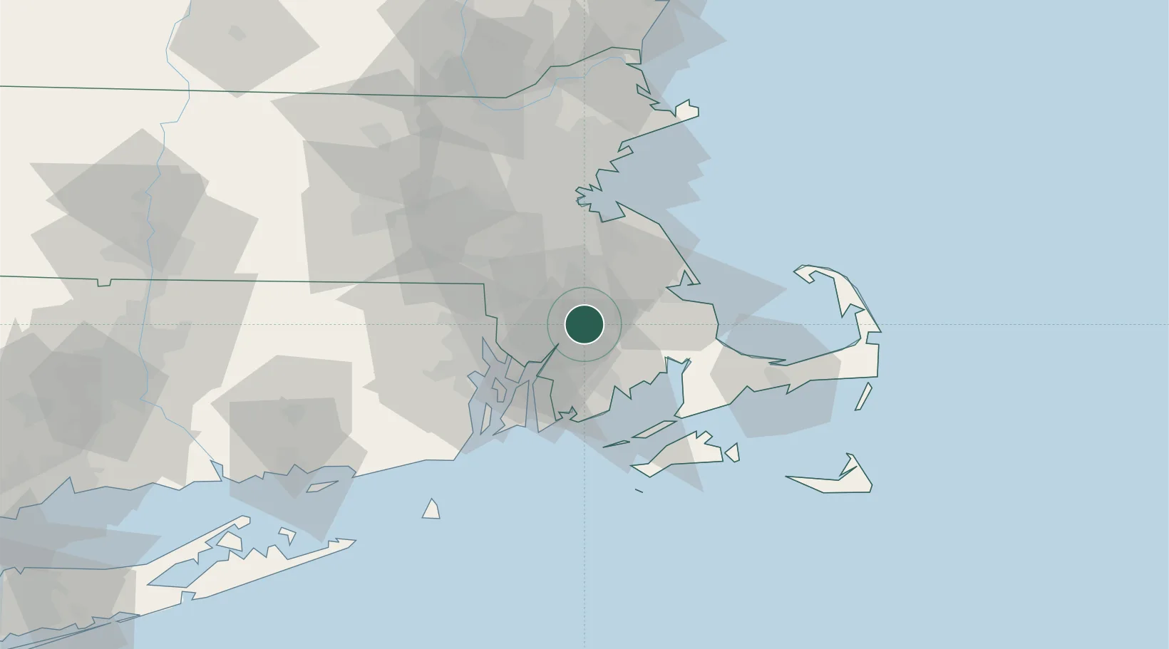
Place type
Populated place
Region
Massachusetts
Time zone
America/New_York
Elevation
6 m
Location
Nearby Logistics Neighbours
Cities
- 1East Freetown12 km
- 2Swansea19 km
- 3Somerset19 km
- 4Carver21 km
- 5Fall River22 km
Ports
- 1Fall River22 km
- 2New Bedford27 km
- 3Bristol30 km
- 4Plymouth30 km
- 5Tiverton31 km
Airports
Trade Zones
- 1FTZ No. 028 New Bedford23 km
- 2FTZ No. 105 Providence and North Kingstown37 km
- 3FTZ No. 027 Boston50 km
- 4FTZ No. 208 New London106 km
- 5FTZ No. 081 Portsmouth133 km
DatabookThe Record of Consolidated Knowledge
United States beyond logistics?