UN/LOCODE hub · United States
USSS3
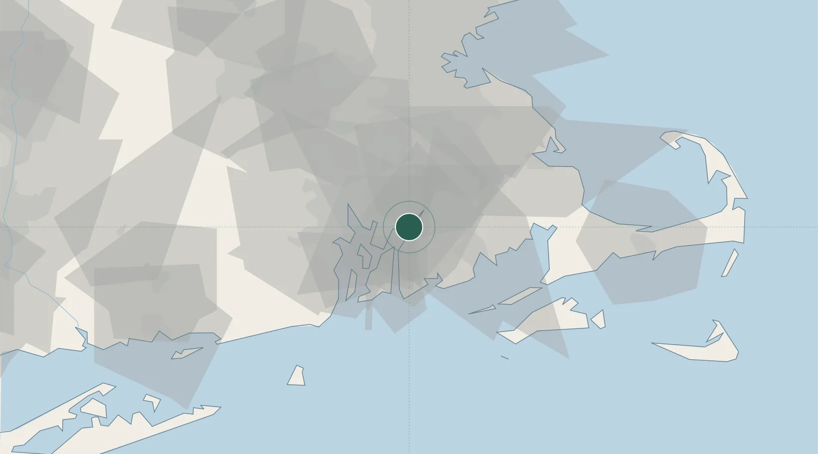
Somerset
41.7333°, -71.1667°
18,165
Population
3
Transport functions
Transport Functions
Port
Road
Multimodal
Hub Profile
Place type
Populated place
Region
Massachusetts
Population
18,165
Time zone
America/New_York
Elevation
13 m
Location
Nearby Logistics Neighbours
Cities
- 1Swansea2 km
- 2Fall River4 km
- 3Brayton Point4 km
- 4Riverside16 km
- 5East Freetown18 km
Ports
- 1Fall River4 km
- 2Bristol11 km
- 3Tiverton12 km
- 4Providence21 km
- 5Davisville Depot23 km
Airports
Trade Zones
DatabookThe Record of Consolidated Knowledge
United States beyond logistics?