UN/LOCODE hub · United States
USKLV
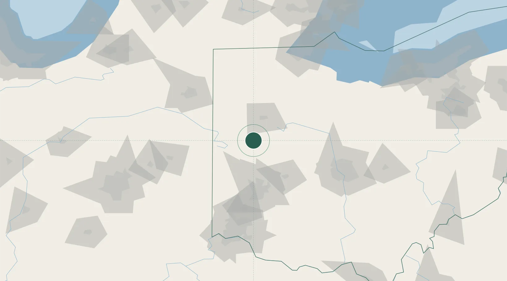
Kettlersville
40.4333°, -84.2500°
177
Population
2
Transport functions
Transport Functions
Road
Multimodal
Hub Profile
Place type
Populated place
Region
Ohio
Population
177
Time zone
America/New_York
Elevation
297 m
Location
Nearby Logistics Neighbours
Cities
- 1Anna9 km
- 2Russia26 km
- 3Spencerville31 km
- 4Versailles31 km
- 5Saint Henry33 km
Ports
- 1Toledo155 km
- 2Port Clinton164 km
- 3Sandusky171 km
- 4Monroe179 km
- 5Huron179 km
Airports
Trade Zones
- 1FTZ No. 100 Dayton71 km
- 2FTZ No. 151 Findlay82 km
- 3FTZ No. 182 Fort Wayne114 km
- 4FTZ No. 054 Clinton County118 km
- 5FTZ No. 138 Franklin County131 km
DatabookThe Record of Consolidated Knowledge
United States beyond logistics?