Foreign Trade Zone · United States

FTZ No. 054 Clinton County Active
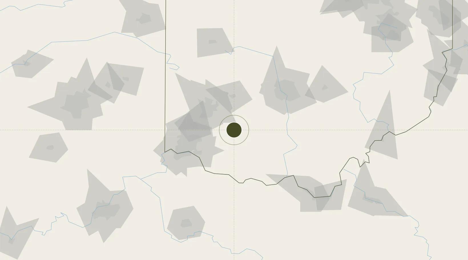
39.4297°, -83.7878°
3,520 ha
Zone area
242.2 km
Nearest port
0.4 km
Nearest airport

Gateway access

Nearest neighbours — logibook spatial index (haversine) over the source coordinates

Zone profile

Zone type
Foreign Trade Zone
Open Zone Map
Region
Ohio
Open Zone Map
Status
Active
Open Zone Map
Management
Public
Open Zone Map
Operator
Clinton County
Open Zone Map
Legal framework
Foreign-Trade Zones Act
Open Zone Map

Location

Location of ozm-4731
Natural Earth 10m (public domain) · Ohio · ozm-4731 · 39.43, -83.79GoogleOSMYandex

Nearby Logistics Neighbours

Ports
  1. 1Sandusky242 km
  2. 2Huron243 km
  3. 3Port Clinton243 km
  4. 4Vermilion253 km
  5. 5Toledo254 km
Nearest neighbours — logibook spatial index (haversine) over the source coordinates
Airports
  1. 1Wilmington Airpark0 km
  2. 2Springfield-Beckley Municipal Airport46 km
  3. 3Wright-Patterson Air Force Base49 km
  4. 4James M. Cox Dayton International Airport64 km
  5. 5Cincinnati Municipal Airport Lunken Field65 km
Nearest neighbours — logibook spatial index (haversine) over the source coordinates
Cities
  1. 1Sabina15 km
  2. 2Waynesville28 km
  3. 3Hillsboro, Ohio30 km
  4. 4Pleasant Plain32 km
  5. 5Bellbrook33 km
Nearest neighbours — logibook spatial index (haversine) over the source coordinates
Trade Zones
  1. 1FTZ No. 100 Dayton59 km
  2. 2FTZ No. 046 CIncinnati73 km
  3. 3FTZ No. 138 Franklin County85 km
  4. 4FTZ No. 047 Boone County108 km
  5. 5FTZ No. 151 Findlay179 km
Nearest neighbours — logibook spatial index (haversine) over the source coordinates
DatabookThe Record of Consolidated Knowledge
United States beyond logistics?
Browse databook

All Sources

Trade ZonesOpen Zone Map
CC BY
Portsthe NGA World Port Index
Public domain (US gov)
AirportsOurAirports
Public domain
LocationsUN/LOCODE
UN/LOCODE — free
← United States trade zones