Medium airport · United States

Merced Regional Macready FieldKMCE

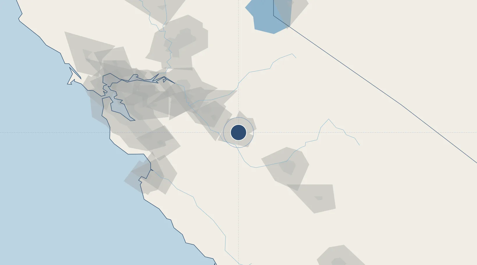
37.2847°, -120.5140°
5,914 ft
Longest runway
1
Runways
155 ft
Elevation

Runway & Layout

Merced Regional Macready Field runway & taxiway layout
Runway & taxiway layout — OpenStreetMap (ODbL) / OurAirports

Radio Frequencies

ASOS
132.175 MHz
A/D
120.95 MHz
NORCAL APP/DEP
UNIC
122.7 MHz
CTAF/UNICOM
OurAirports

Runways · 1

RunwayDimensions SurfaceTrue headingLit
12/30 5,914 × 150ft Asphalt 139°
OurAirports

Airport Specifications

IATA code
MCE
OurAirports
ICAO code
KMCE
OurAirports
Airport class
Medium airport
OurAirports
Scheduled service
Yes
OurAirports
Runway surface
Asphalt
OurAirports
Served city
Merced
OurAirports

Location

Location of KMCE
Natural Earth 10m (public domain) · California · KMCE · 37.28, -120.51GoogleOSMYandex

Nearby Logistics Neighbours

Airports
  1. 1Castle Airport12 km
  2. 2Modesto City Co-Harry Sham Field54 km
  3. 3Fresno Yosemite International Airport91 km
  4. 4Stockton Metropolitan Airport93 km
  5. 5Lemoore Naval Air Station (Reeves Field) Airport117 km
Nearest neighbours — logibook spatial index (haversine) over the source coordinates
Cities
  1. 1Livingston21 km
  2. 2Sierra Vista25 km
  3. 3Chowchilla30 km
  4. 4Hilmar31 km
  5. 5Denair37 km
Nearest neighbours — logibook spatial index (haversine) over the source coordinates
Ports
  1. 1Stockton101 km
  2. 2Moss125 km
  3. 3Isleton137 km
  4. 4Walnut Grove138 km
  5. 5Santa Cruz138 km
Nearest neighbours — logibook spatial index (haversine) over the source coordinates
Trade Zones
  1. 1FTZ No. 226 Merced, Madera and Fresno Counties4 km
  2. 2FTZ No. 231 Stockton103 km
  3. 3FTZ No. 018 San Jose121 km
  4. 4FTZ No. 056 Oakland166 km
  5. 5FTZ No. 143 West Sacramento169 km
Nearest neighbours — logibook spatial index (haversine) over the source coordinates
DatabookThe Record of Consolidated Knowledge
United States beyond logistics?
Browse databook

All Sources

AirportsOurAirports
Public domain
Portsthe NGA World Port Index
Public domain (US gov)
LocationsUN/LOCODE
UN/LOCODE — free
Trade Zonesthe World Bank SEZ database
CC BY 4.0
Trade ZonesOpen Zone Map
CC BY
InfrastructureOpenStreetMap
ODbL 1.0
← United States airports