Transport Functions
Road
Multimodal
Hub Profile
Place type
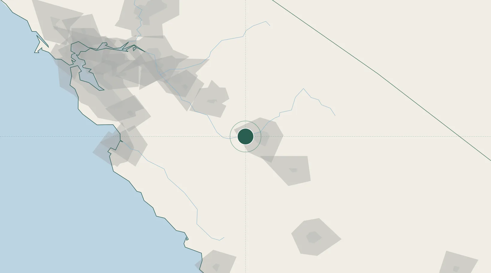
Populated place
Region
California
Population
1,623
Time zone
America/Los_Angeles
Elevation
77 m
Location
Nearby Logistics Neighbours
Cities
- 1Mendota32 km
- 2Del Rey41 km
- 3Chowchilla41 km
- 4Sierra Vista46 km
- 5Laton51 km
Ports
- 1Moss157 km
- 2Monterey168 km
- 3Stockton171 km
- 4Morro Bay176 km
- 5Santa Cruz179 km
Airports
Trade Zones
- 1FTZ No. 226 Merced, Madera and Fresno Counties70 km
- 2FTZ No. 231 Stockton173 km
- 3FTZ No. 018 San Jose176 km
- 4FTZ No. 276 Kern County183 km
- 5FTZ No. 056 Oakland229 km
DatabookThe Record of Consolidated Knowledge
United States beyond logistics?