Medium airport · United States

Castle AirportKMER

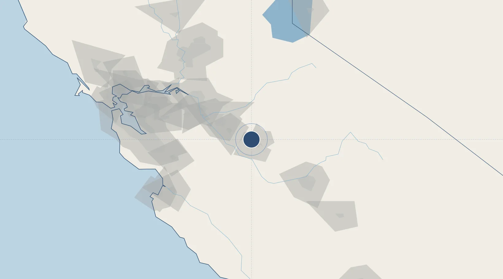
37.3805°, -120.5680°
11,802 ft
Longest runway
1
Runways
191 ft
Elevation

Runway & Layout

Castle Airport runway & taxiway layout
Runway & taxiway layout — OpenStreetMap (ODbL) / OurAirports

Radio Frequencies

AWOS
124.475 MHz
AWO 3
A/D
120.95 MHz
NORCAL APP/DEP
UNIC
123.075 MHz
CTAF/UNICOM
OurAirports

Runways · 1

RunwayDimensions SurfaceTrue headingLit
13/31 11,802 × 150ft Asphalt / concrete 141°
OurAirports

Airport Specifications

IATA code
MER
OurAirports
ICAO code
KMER
OurAirports
Airport class
Medium airport
OurAirports
Scheduled service
No
OurAirports
Runway surface
Asphalt / concrete
OurAirports
Served city
Merced
OurAirports

Location

Location of KMER
Natural Earth 10m (public domain) · California · KMER · 37.38, -120.57GoogleOSMYandex

Nearby Logistics Neighbours

Airports
  1. 1Merced Regional Macready Field12 km
  2. 2Modesto City Co-Harry Sham Field44 km
  3. 3Stockton Metropolitan Airport82 km
  4. 4Fresno Yosemite International Airport101 km
  5. 5Norman Y. Mineta San Jose International Airport120 km
Nearest neighbours — logibook spatial index (haversine) over the source coordinates
Cities
  1. 1Livingston13 km
  2. 2Hilmar24 km
  3. 3Denair27 km
  4. 4Keyes35 km
  5. 5Sierra Vista36 km
Nearest neighbours — logibook spatial index (haversine) over the source coordinates
Ports
  1. 1Stockton90 km
  2. 2Moss126 km
  3. 3Isleton126 km
  4. 4Walnut Grove126 km
  5. 5Antioch129 km
Nearest neighbours — logibook spatial index (haversine) over the source coordinates
Trade Zones
  1. 1FTZ No. 226 Merced, Madera and Fresno Counties11 km
  2. 2FTZ No. 231 Stockton92 km
  3. 3FTZ No. 018 San Jose117 km
  4. 4FTZ No. 056 Oakland158 km
  5. 5FTZ No. 143 West Sacramento158 km
Nearest neighbours — logibook spatial index (haversine) over the source coordinates
DatabookThe Record of Consolidated Knowledge
United States beyond logistics?
Browse databook

All Sources

AirportsOurAirports
Public domain
Portsthe NGA World Port Index
Public domain (US gov)
LocationsUN/LOCODE
UN/LOCODE — free
Trade Zonesthe World Bank SEZ database
CC BY 4.0
Trade ZonesOpen Zone Map
CC BY
InfrastructureOpenStreetMap
ODbL 1.0
← United States airports