Transport Functions
Rail
Road
Hub Profile
Place type
Populated place
Region
Oklahoma
Population
145
Time zone
America/Chicago
Elevation
531 m
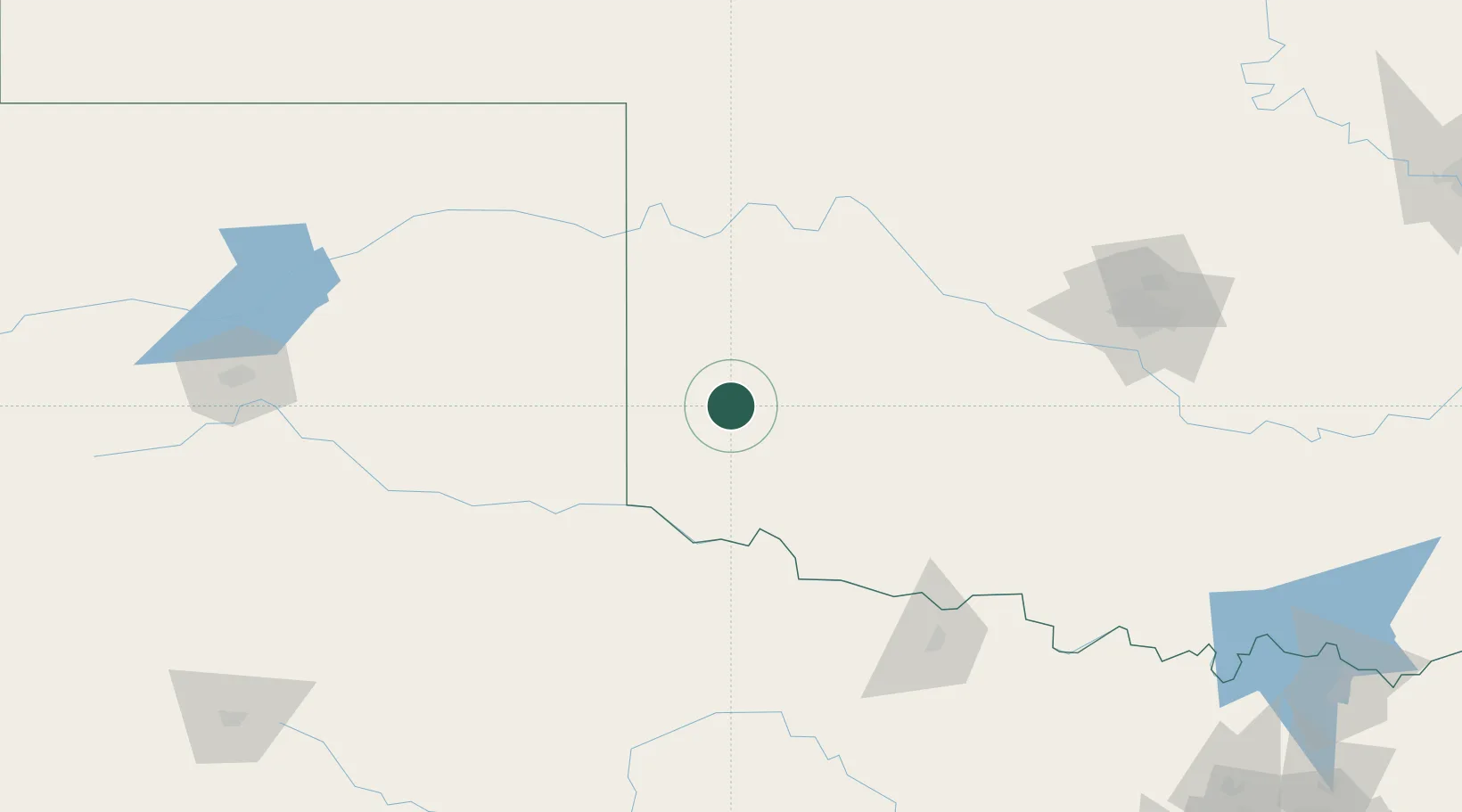
Location
Nearby Logistics Neighbours
Cities
- 1Granite14 km
- 2Dill City42 km
- 3Shamrock, Wheeler71 km
- 4Carnegie82 km
- 5Eakly91 km
Airports
- 1Hobart Regional Airport41 km
- 2Altus Air Force Base48 km
- 3Childress Municipal Airport99 km
- 4Henry Post Army Air Field110 km
- 5Lawton Fort Sill Regional Airport113 km
Trade Zones
- 1FTZ No. 106 Oklahoma City186 km
- 2FTZ No. 252 Amarillo217 km
- 3FTZ No. 260 Lubbock283 km
- 4FTZ No. 261 Alexandria283 km
- 5FTZ No. 039 Dallas Fort Worth288 km
DatabookThe Record of Consolidated Knowledge
United States beyond logistics?