Transport Functions
Road
Multimodal
Hub Profile
Place type
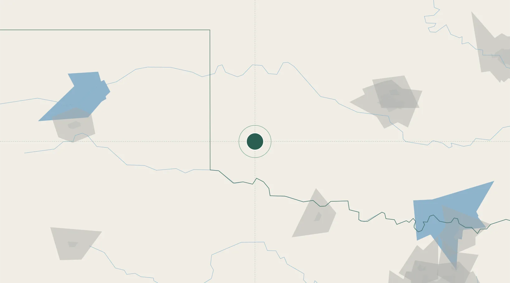
Populated place
Region
Oklahoma
Population
2,031
Time zone
America/Chicago
Elevation
491 m
Location
Nearby Logistics Neighbours
Cities
- 1Willow14 km
- 2Dill City42 km
- 3Carnegie73 km
- 4Cache78 km
- 5Shamrock, Wheeler84 km
Airports
Trade Zones
- 1FTZ No. 106 Oklahoma City178 km
- 2FTZ No. 252 Amarillo228 km
- 3FTZ No. 039 Dallas Fort Worth275 km
- 4FTZ No. 260 Lubbock287 km
- 5FTZ No. 261 Alexandria287 km
DatabookThe Record of Consolidated Knowledge
United States beyond logistics?