Transport Functions
Port
Hub Profile
Place type
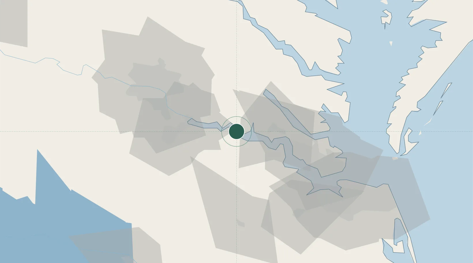
Populated place
Region
Virginia
Population
354
Time zone
America/New_York
Elevation
33 m
Location
Nearby Logistics Neighbours
Cities
- 1Surry19 km
- 2Charles City26 km
- 3Gloucester43 km
- 4King William46 km
- 5Richmond49 km
Ports
- 1West Point33 km
- 2Yorktown42 km
- 3Richmond50 km
- 4Newport News58 km
- 5Norfolk75 km
Airports
Trade Zones
DatabookThe Record of Consolidated Knowledge
United States beyond logistics?