Transport Functions
Road
Multimodal
Hub Profile
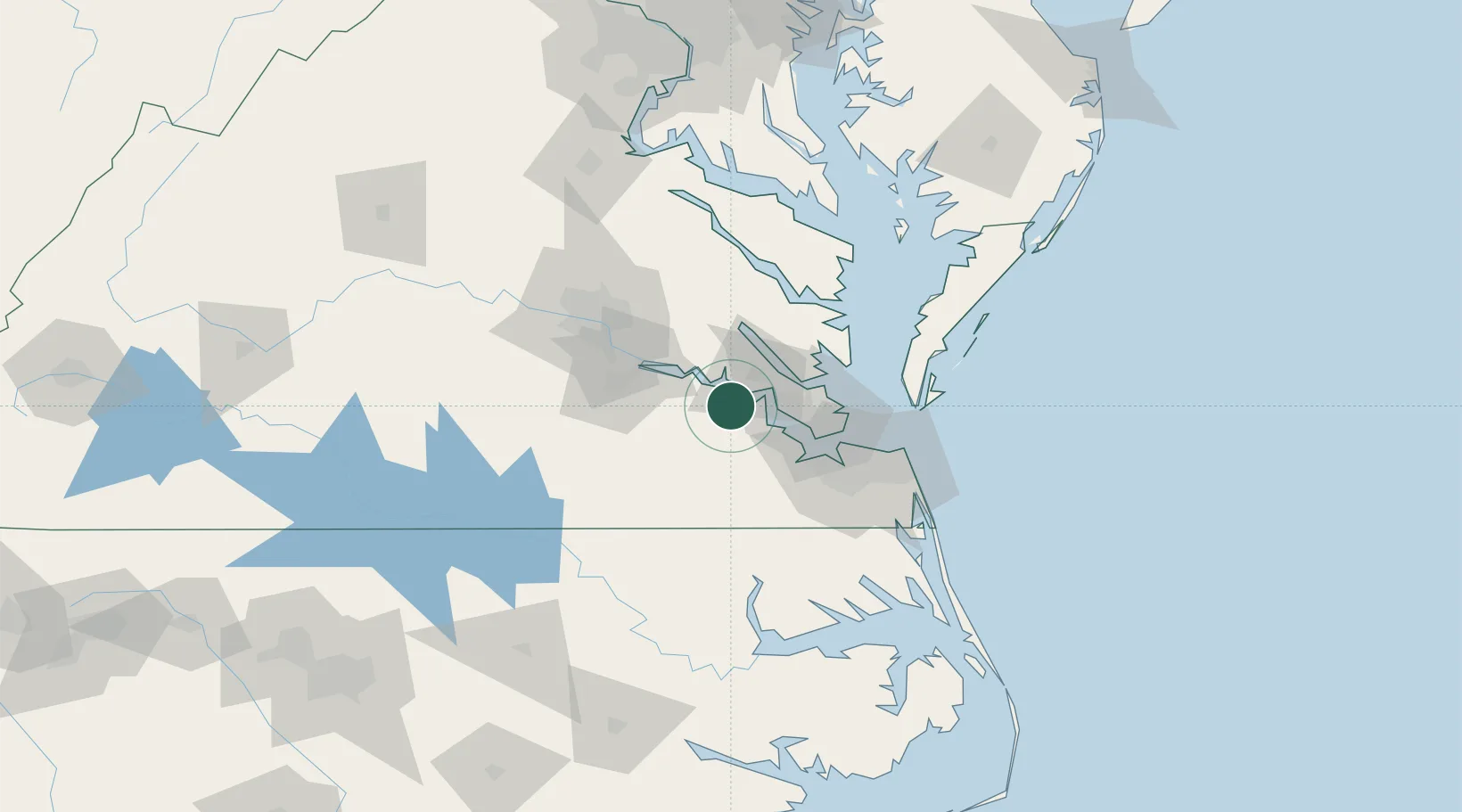
Place type
Provincial seat
Region
Virginia
Population
232
Time zone
America/New_York
Elevation
37 m
Location
Nearby Logistics Neighbours
Cities
- 1Claremont19 km
- 2Carrollton34 km
- 3Newmarket39 km
- 4Newport News40 km
- 5Gloucester41 km
Ports
- 1Yorktown32 km
- 2Newport News40 km
- 3West Point45 km
- 4Norfolk57 km
- 5Portsmouth59 km
Airports
Trade Zones
DatabookThe Record of Consolidated Knowledge
United States beyond logistics?