Transport Functions
Multimodal
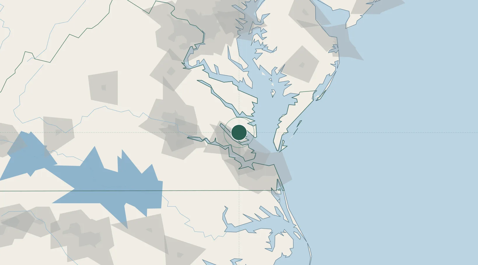
Hub Profile
Place type
Populated place
Region
Virginia
Time zone
America/New_York
Elevation
22 m
Location
Nearby Logistics Neighbours
Cities
- 1Cobbs Creek16 km
- 2New Point21 km
- 3Locust Hill, Middlesex22 km
- 4Jamaica37 km
- 5Surry41 km
Ports
- 1Yorktown19 km
- 2West Point29 km
- 3Cape Charles47 km
- 4Newport News49 km
- 5Norfolk64 km
Airports
Trade Zones
DatabookThe Record of Consolidated Knowledge
United States beyond logistics?