UN/LOCODE hub · United States
USFMM
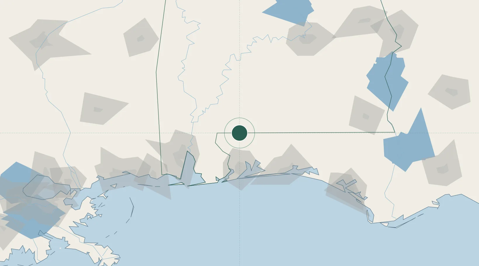
Flomaton
31.0000°, -87.2667°
1,411
Population
3
Transport functions
Transport Functions
Rail
Road
Multimodal
Hub Profile
Place type
Populated place
Region
Alabama
Population
1,411
Time zone
America/Chicago
Elevation
21 m
Location
Nearby Logistics Neighbours
Cities
- 1Atmore22 km
- 2Uriah40 km
- 3Castleberry43 km
- 4Cantonment46 km
- 5Holt59 km
Ports
- 1Pensacola67 km
- 2Mobile89 km
- 3Pascagoula144 km
- 4Biloxi169 km
- 5Panama City182 km
Airports
Trade Zones
- 1FTZ No. 249 Pensacola63 km
- 2FTZ No. 082 Mobile86 km
- 3FTZ No. 065 Panama City171 km
- 4FTZ No. 092 Harrison County175 km
- 5FTZ No. 233 Dothan177 km
DatabookThe Record of Consolidated Knowledge
United States beyond logistics?