Transport Functions
Road
Multimodal
Hub Profile
Place type
Populated place
Region
Oklahoma
Population
4,594
Time zone
America/Chicago
Elevation
400 m
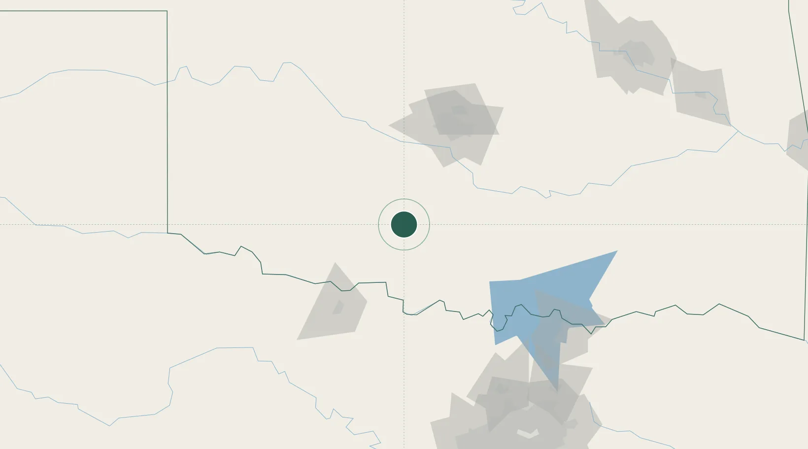
Location
Nearby Logistics Neighbours
Cities
- 1Rush Springs13 km
- 2Lindsay38 km
- 3Maysville53 km
- 4Anadarko53 km
- 5Cache63 km
Airports
Trade Zones
- 1FTZ No. 106 Oklahoma City99 km
- 2FTZ No. 227 Durant160 km
- 3FTZ No. 196 Fort Worth209 km
- 4FTZ No. 039 Dallas Fort Worth213 km
- 5FTZ No. 168 Dallas Fort Worth216 km
DatabookThe Record of Consolidated Knowledge
United States beyond logistics?