Medium airport · United States
Wichita Falls Municipal Airport / Sheppard Air Force BaseKSPS
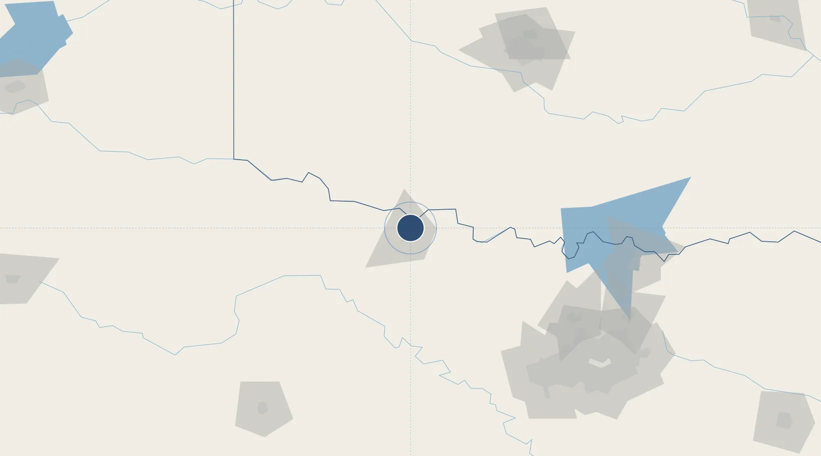
33.9888°, -98.4919°
13,100 ft
Longest runway
4
Runways
1,019 ft
Elevation
Runway & Layout

Radio Frequencies
ATIS
132.05 MHz
TWR
119.75 MHz
GND
125.5 MHz
CLD
121.2 MHz
CLNC DEL
APP
118.2 MHz
DEP
120.4 MHz
CTAF
119.75 MHz
PMSV
34.46 MHz
PMSV METRO
PTD
37.22 MHz
RDO
122.65 MHz
FORT WORTH RDO
UNIC
122.95 MHz
UNICOM
Navaids
SHP TACAN Sheppard 110.80 MHz
SP NDB Shawn 296 kHz
SPS VORTAC Wichita Falls 112.70 MHz
Runways · 4
| Runway | Dimensions | Surface | True heading | Lit |
|---|---|---|---|---|
| 15R/33L | 13,100 × 300ft | Concrete | 158° | ✓ |
| 15C/33C | 10,003 × 150ft | Asphalt / concrete | 158° | ✓ |
| 17/35 | 7,021 × 150ft | Asphalt | 180° | ✓ |
| 15L/33R | 6,000 × 150ft | Asphalt / concrete | 158° | ✓ |
Airport Specifications
IATA code
SPS
ICAO code
KSPS
Airport class
Medium airport
Scheduled service
Yes
Runway surface
Concrete
Served city
Wichita Falls
Location
Nearby Logistics Neighbours
Airports
- 1Lawton Fort Sill Regional Airport65 km
- 2Henry Post Army Air Field74 km
- 3Altus Air Force Base104 km
- 4Hobart Regional Airport123 km
- 5Mineral Wells Regional Airport140 km
Trade Zones
- 1FTZ No. 039 Dallas Fort Worth144 km
- 2FTZ No. 196 Fort Worth158 km
- 3FTZ No. 168 Dallas Fort Worth165 km
- 4FTZ No. 106 Oklahoma City187 km
- 5FTZ No. 227 Durant194 km
DatabookThe Record of Consolidated Knowledge
United States beyond logistics?