Transport Functions
Rail
Road
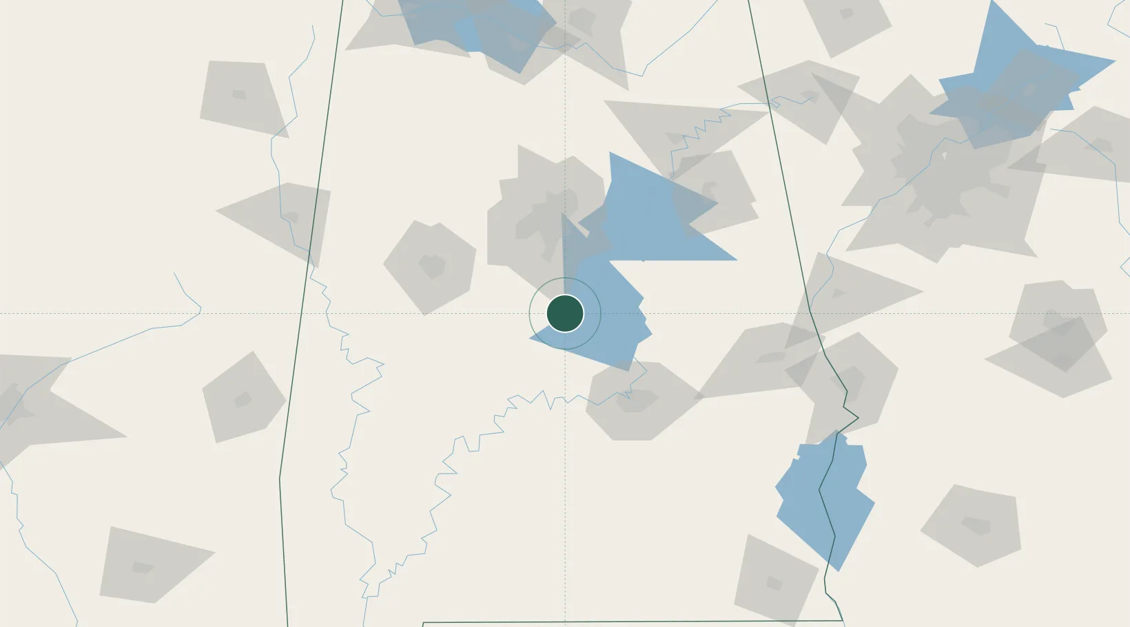
Hub Profile
Place type
Populated place
Region
Alabama
Population
2,044
Time zone
America/Chicago
Elevation
212 m
Location
Nearby Logistics Neighbours
Cities
- 1Jemison6 km
- 2Clanton12 km
- 3Clayton13 km
- 4Maplesville20 km
- 5Brent41 km
Ports
- 1Mobile281 km
- 2Pensacola284 km
- 3Panama City326 km
- 4Pascagoula335 km
- 5Biloxi348 km
Airports
Trade Zones
- 1FTZ No. 098 Birmingham68 km
- 2FTZ No. 222 Montgomery71 km
- 3FTZ No. 083 Huntsville192 km
- 4FTZ No. 270 Lawrence County193 km
- 5FTZ No. 265 Conroe (Montgomery County)195 km
DatabookThe Record of Consolidated Knowledge
United States beyond logistics?