Transport Functions
Rail
Road
Hub Profile
Place type
Populated place
Region
Alabama
Population
2,619
Time zone
America/Chicago
Elevation
219 m
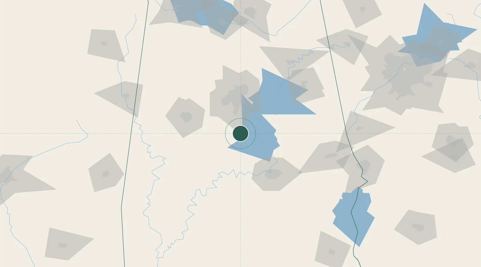
Location
Nearby Logistics Neighbours
Cities
- 1Thorsby6 km
- 2Clanton18 km
- 3Clayton19 km
- 4Maplesville23 km
- 5Helena36 km
Ports
- 1Mobile285 km
- 2Pensacola289 km
- 3Panama City332 km
- 4Pascagoula338 km
- 5Biloxi351 km
Airports
Trade Zones
- 1FTZ No. 098 Birmingham62 km
- 2FTZ No. 222 Montgomery78 km
- 3FTZ No. 083 Huntsville187 km
- 4FTZ No. 270 Lawrence County187 km
- 5FTZ No. 265 Conroe (Montgomery County)190 km
DatabookThe Record of Consolidated Knowledge
United States beyond logistics?