UN/LOCODE hub · United States
USJCU
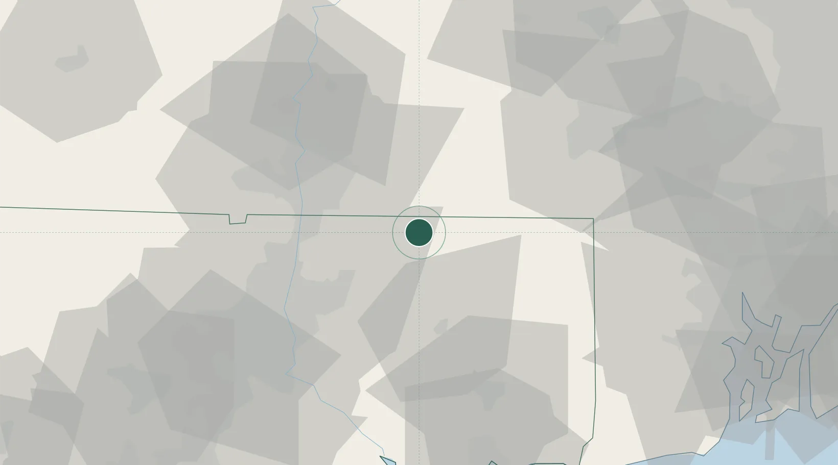
Stafford
41.9833°, -72.2833°
12,029
Population
2
Transport functions
Transport Functions
Road
Multimodal
Hub Profile
Place type
Populated place
Region
Connecticut
Population
12,029
Time zone
America/New_York
Elevation
177 m
Location
Nearby Logistics Neighbours
Cities
- 1Brimfield16 km
- 2Ellington18 km
- 3Rockville19 km
- 4Southbridge23 km
- 5Broad Brook23 km
Ports
- 1Norwich55 km
- 2Essex71 km
- 3New London72 km
- 4Mystic75 km
- 5Providence76 km
Airports
Trade Zones
DatabookThe Record of Consolidated Knowledge
United States beyond logistics?