UN/LOCODE hub · United States
USMY5

Moriarty

34.9833°, -106.0333°
1,806
Population
1
Transport functions

Transport Functions

Multimodal
UN/LOCODE

Hub Profile

Place type
Populated place
GeoNames
Region
New Mexico
GeoNames
Population
1,806
GeoNames
Time zone
America/Denver
GeoNames
Elevation
1,896 m
GeoNames

Location

Location of USMY5
Natural Earth 10m (public domain) · New Mexico · USMY5 · 34.98, -106.03GoogleOSMYandex

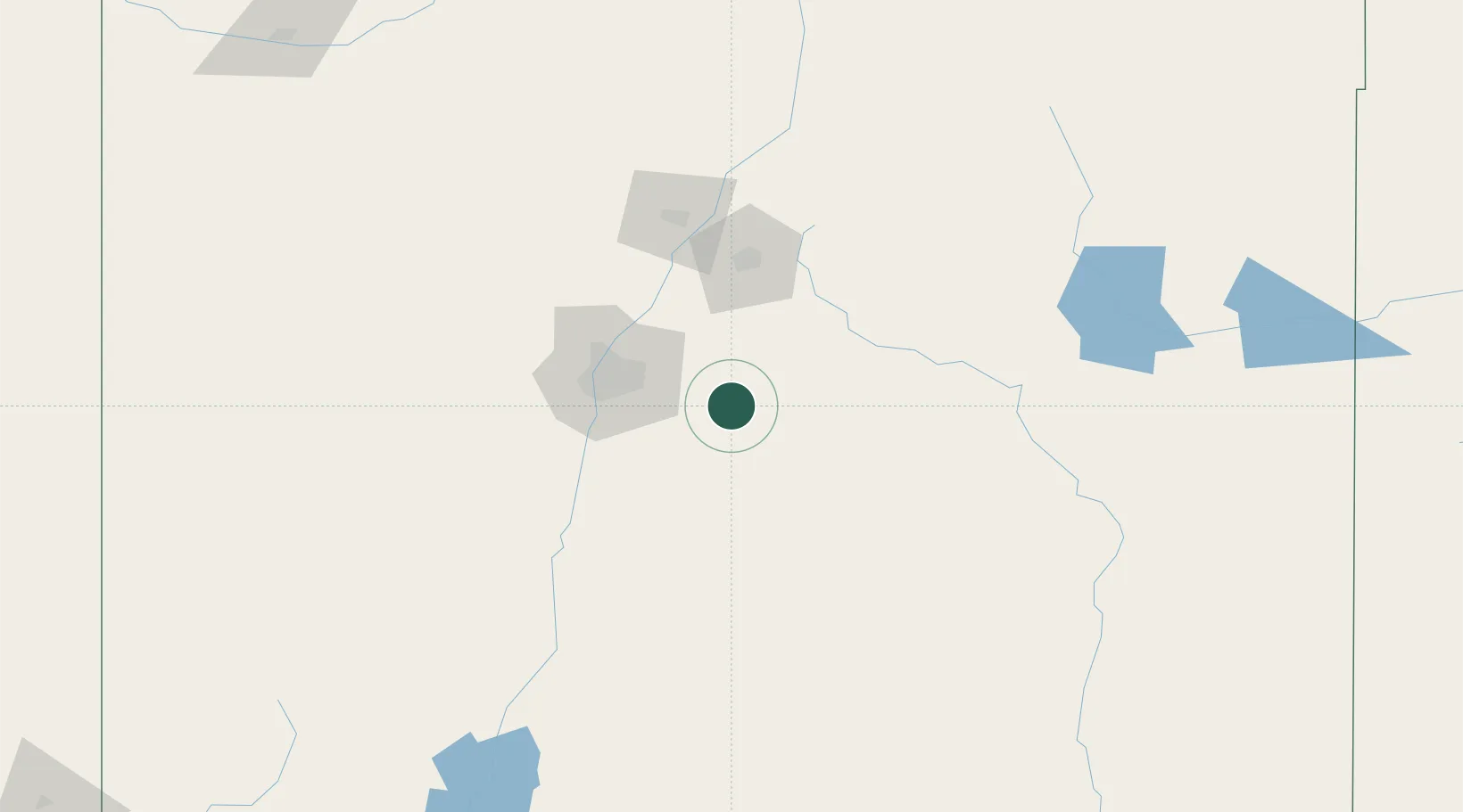
Nearby Logistics Neighbours

Cities
  1. 1Edgewood16 km
  2. 2Willard43 km
  3. 3Culebra43 km
  4. 4Bernalillo59 km
  5. 5Bosque Farms63 km
Nearest neighbours — logibook spatial index (haversine) over the source coordinates
Ports
  1. 1Guaymas912 km
  2. 2Santa Rosalia1037 km
  3. 3Isla San Marcos1042 km
  4. 4Ensenada1042 km
  5. 5San Diego1059 km
Nearest neighbours — logibook spatial index (haversine) over the source coordinates
Airports
  1. 1Albuquerque International Sunport53 km
  2. 2Santa Fe Municipal Airport71 km
  3. 3Double Eagle II Airport72 km
  4. 4Las Vegas Municipal Airport110 km
  5. 5Taos Regional Airport167 km
Nearest neighbours — logibook spatial index (haversine) over the source coordinates
Trade Zones
  1. 1FTZ No. 110 Albuquerque72 km
  2. 2FTZ No. 197 Dona Ana County311 km
  3. 3FTZ No. 068 El Paso353 km
  4. 4FTZ No. 150 El Paso353 km
  5. 5FTZ No. 260 Lubbock399 km
Nearest neighbours — logibook spatial index (haversine) over the source coordinates
DatabookThe Record of Consolidated Knowledge
United States beyond logistics?
Browse databook

All Sources

LocationsUN/LOCODE
UN/LOCODE — free
LocationsGeoNames
CC BY 4.0
Portsthe NGA World Port Index
Public domain (US gov)
AirportsOurAirports
Public domain
Trade Zonesthe World Bank SEZ database
CC BY 4.0
Trade ZonesOpen Zone Map
CC BY
← United States locations