Transport Functions
Multimodal
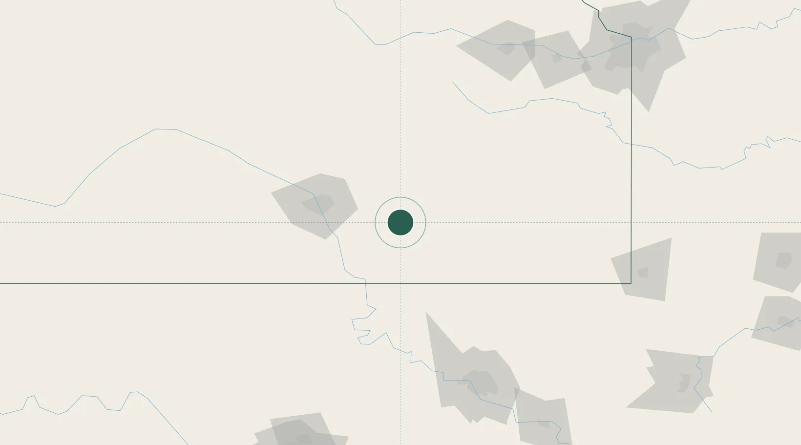
Hub Profile
Place type
Populated place
Region
Kansas
Population
138
Time zone
America/Chicago
Elevation
449 m
Location
Nearby Logistics Neighbours
Ports
- 1Port Of Memphis641 km
- 2Beaumont861 km
- 3Orange871 km
- 4Lake Charles871 km
- 5Port Neches874 km
Airports
Trade Zones
- 1FTZ No. 161 Sedgwick County101 km
- 2FTZ No. 053 Rogers County150 km
- 3FTZ No. 015 Kansas City210 km
- 4FTZ No. 164 Muskogee227 km
- 5FTZ No. 017 Kansas City233 km
DatabookThe Record of Consolidated Knowledge
United States beyond logistics?