UN/LOCODE hub · United States
USYWA
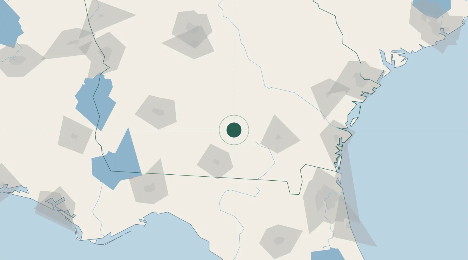
Willacoochee
31.3333°, -83.0333°
1,393
Population
3
Transport functions
Transport Functions
Port
Rail
Road
Hub Profile
Place type
Populated place
Region
Georgia
Population
1,393
Time zone
America/New_York
Elevation
74 m
Location
Nearby Logistics Neighbours
Ports
- 1Brunswick147 km
- 2Darien152 km
- 3Fernandina Beach166 km
- 4Jacksonville174 km
- 5Mayport185 km
Airports
- 1Moody Air Force Base43 km
- 2Valdosta Regional Airport66 km
- 3Southwest Georgia Regional Airport113 km
- 4Brunswick Golden Isles Airport149 km
- 5Robins Air Force Base155 km
Trade Zones
- 1FTZ No. 144 Brunswick147 km
- 2FTZ No. 064 Jacksonville150 km
- 3FTZ No. 104 Savannah202 km
- 4FTZ No. 233 Dothan228 km
- 5FTZ No. 065 Panama City288 km
DatabookThe Record of Consolidated Knowledge
United States beyond logistics?