Transport Functions
Rail
Road
Hub Profile
Place type
Provincial seat
Region
Alabama
Population
14,071
Time zone
America/Chicago
Elevation
100 m
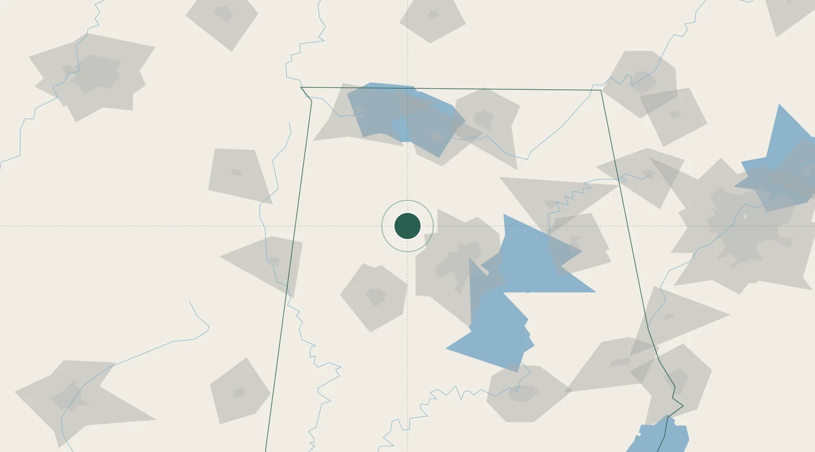
Location
Nearby Logistics Neighbours
Cities
- 1Dora19 km
- 2Sumiton21 km
- 3Berry35 km
- 4Double Springs39 km
- 5Warrior42 km
Ports
- 1Port Of Memphis300 km
- 2Mobile358 km
- 3Pensacola380 km
- 4Pascagoula405 km
- 5Biloxi411 km
Airports
Trade Zones
DatabookThe Record of Consolidated Knowledge
United States beyond logistics?