Medium airport · United States
Alliance Municipal AirportKAIA
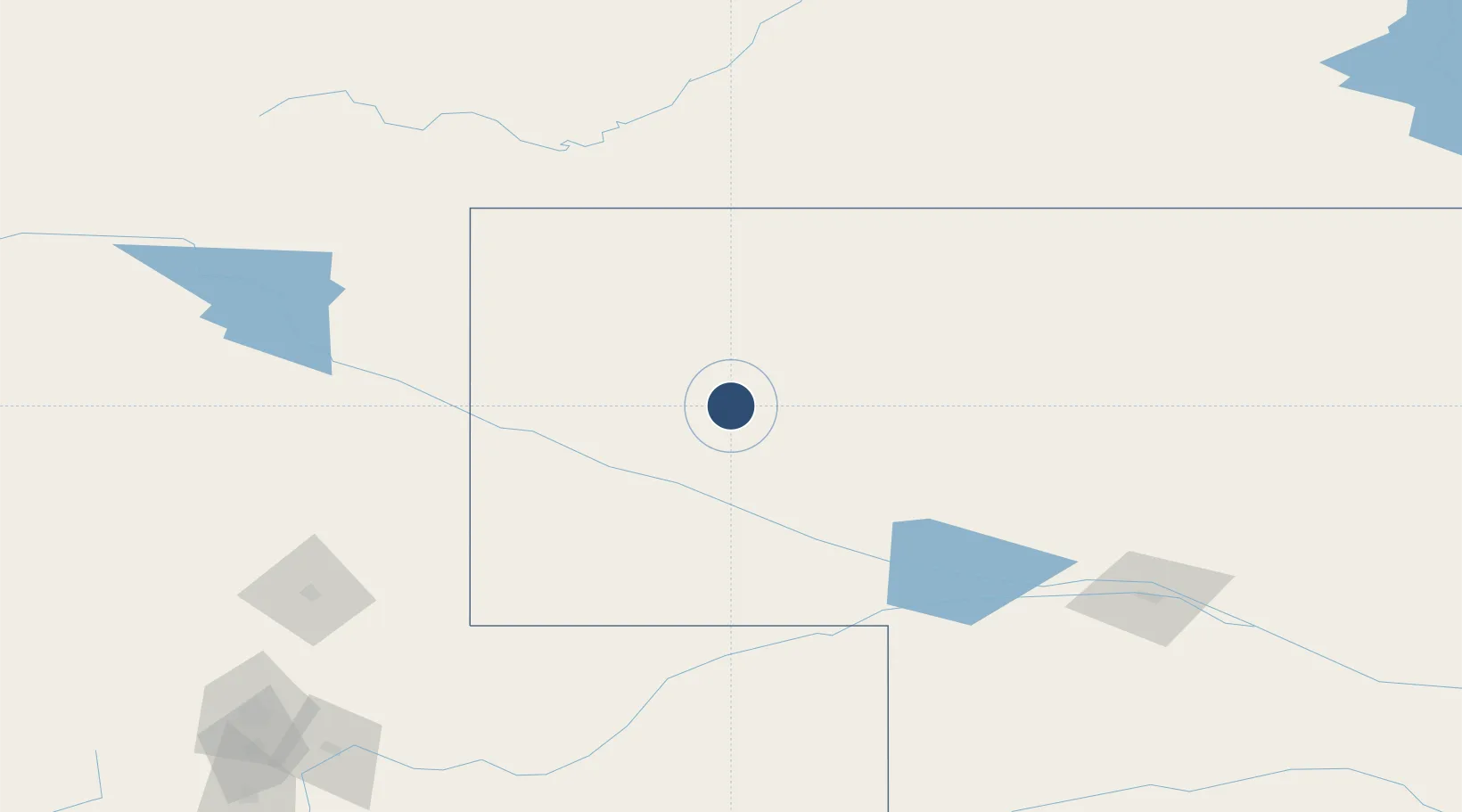
42.0525°, -102.8040°
9,203 ft
Longest runway
3
Runways
3,931 ft
Elevation
Runway & Layout

Radio Frequencies
ASOS
135.075 MHz
CNTR
127.95 MHz
DENVER CNTR
RDO
122.3 MHz
COLUMBUS RDO
UNIC
123 MHz
CTAF/UNICOM
Runways · 3
| Runway | Dimensions | Surface | True heading | Lit |
|---|---|---|---|---|
| 12/30 | 9,203 × 150ft | Asphalt | 134° | ✓ |
| 17/35 | 6,311 × 75ft | Asphalt | 179° | — |
| 08/26 | 6,190 × 75ft | Asphalt | 089° | ✓ |
Airport Specifications
IATA code
AIA
ICAO code
KAIA
Airport class
Medium airport
Scheduled service
Yes
Runway surface
Asphalt
Served city
Alliance
Location
Nearby Logistics Neighbours
Airports
Cities
- 1Albin129 km
- 2Pine Bluffs144 km
- 3Guernsey162 km
- 4Custer201 km
- 5Yuma215 km
Ports
- 1Duluth998 km
- 2Superior998 km
- 3Two Harbors1041 km
- 4Ashland1074 km
- 5Washburn1076 km
Trade Zones
- 1FTZ No. 123 Denver316 km
- 2FTZ No. 293 Limon319 km
- 3FTZ No. 298 Jefferson County324 km
- 4FTZ No. 112 Colorado Springs397 km
- 5FTZ No. 059 Lincoln517 km
DatabookThe Record of Consolidated Knowledge
United States beyond logistics?