UN/LOCODE hub · United States
USYSL
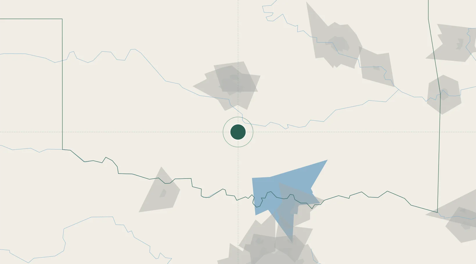
Maysville
34.8333°, -97.4167°
1,231
Population
2
Transport functions
Transport Functions
Rail
Road
Hub Profile
Place type
Populated place
Region
Oklahoma
Population
1,231
Time zone
America/Chicago
Elevation
286 m
Location
Nearby Logistics Neighbours
Airports
Trade Zones
- 1FTZ No. 106 Oklahoma City71 km
- 2FTZ No. 227 Durant132 km
- 3FTZ No. 164 Muskogee205 km
- 4FTZ No. 053 Rogers County219 km
- 5FTZ No. 196 Fort Worth227 km
DatabookThe Record of Consolidated Knowledge
United States beyond logistics?