Transport Functions
Rail
Road
Multimodal
Hub Profile
Place type
Populated place
Region
Oklahoma
Population
2,830
Time zone
America/Chicago
Elevation
296 m
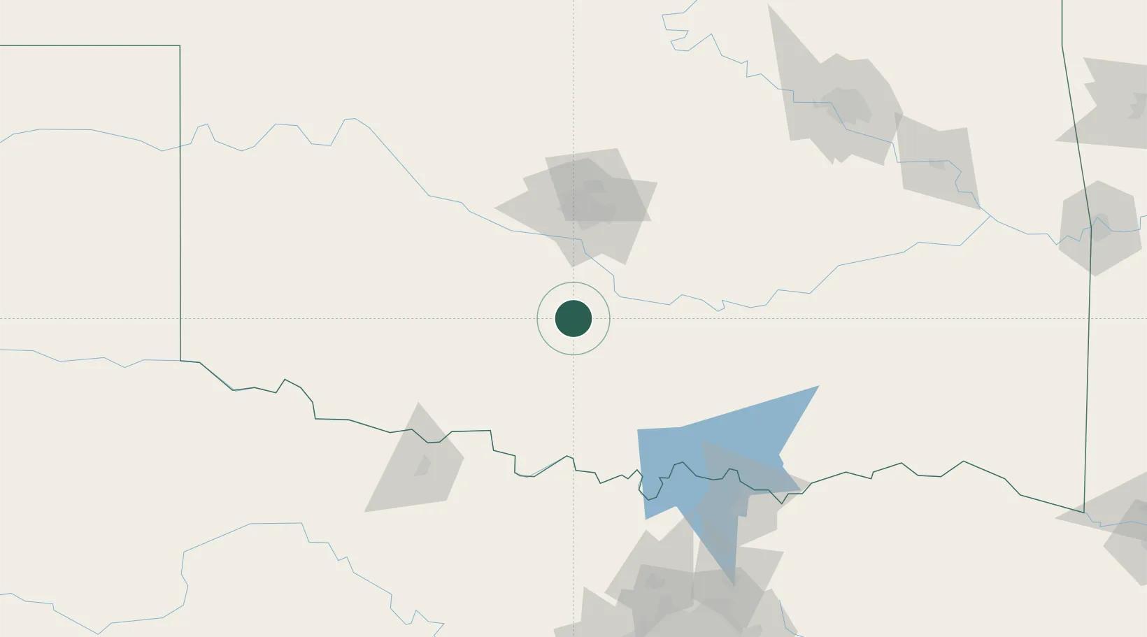
Location
Nearby Logistics Neighbours
Cities
- 1Maysville17 km
- 2Purcell29 km
- 3Paoli32 km
- 4Rush Springs33 km
- 5Marlow38 km
Airports
Trade Zones
- 1FTZ No. 106 Oklahoma City71 km
- 2FTZ No. 227 Durant144 km
- 3FTZ No. 164 Muskogee220 km
- 4FTZ No. 196 Fort Worth226 km
- 5FTZ No. 053 Rogers County230 km
DatabookThe Record of Consolidated Knowledge
United States beyond logistics?