Transport Functions
Rail
Road
Hub Profile
Place type
Populated place
Region
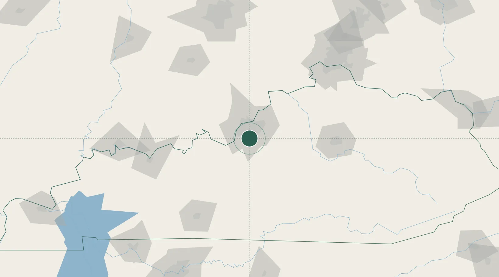
Kentucky
Population
2,401
Time zone
America/New_York
Elevation
155 m
Location
Nearby Logistics Neighbours
Cities
- 1Fairdale5 km
- 2Louisville13 km
- 3Whitner13 km
- 4Shively17 km
- 5Lanesville30 km
Ports
- 1Gary418 km
- 2Michigan City420 km
- 3Indiana Harbor426 km
- 4Calumet Harbor436 km
- 5Toledo447 km
Airports
Trade Zones
- 1FTZ No. 029 Louisville24 km
- 2FTZ No. 047 Boone County123 km
- 3FTZ No. 046 CIncinnati155 km
- 4FTZ No. 177 Evansville166 km
- 5FTZ No. 072 Indianapolis191 km
DatabookThe Record of Consolidated Knowledge
United States beyond logistics?