Foreign Trade Zone · United States

FTZ No. 177 Evansville Active
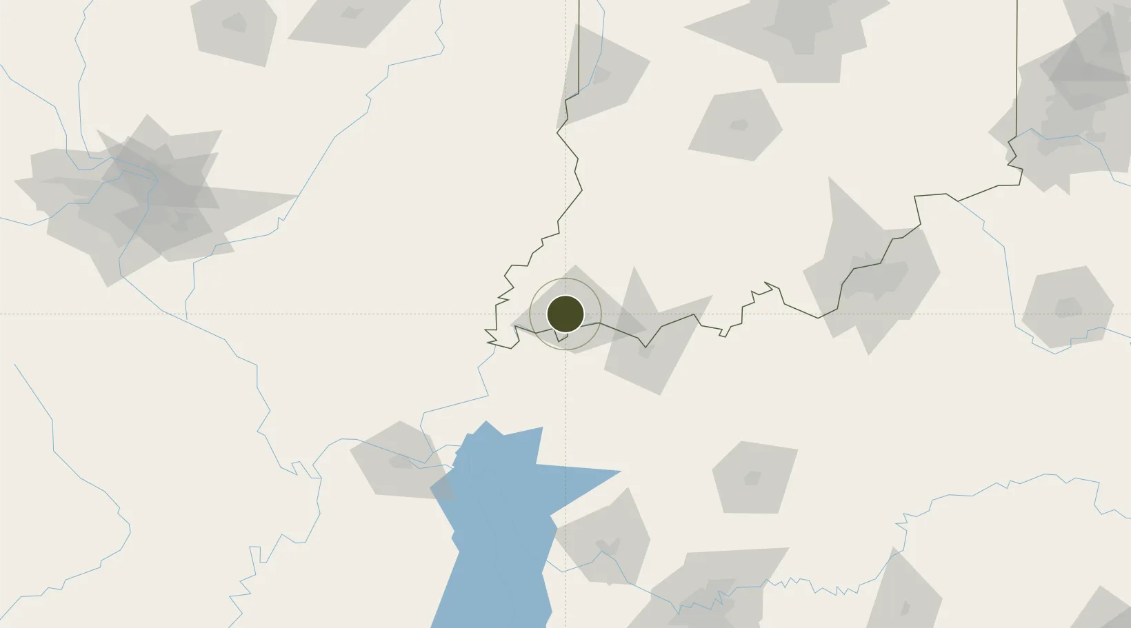
37.9962°, -87.6138°
397.6 km
Nearest port
8.5 km
Nearest airport

Gateway access

Nearest neighbours — logibook spatial index (haversine) over the source coordinates

Zone profile

Zone type
Foreign Trade Zone
Open Zone Map
Region
Indiana
Open Zone Map
Status
Active
Open Zone Map
Management
Public-Private Partnership
Open Zone Map
Operator
Ports of Indiana
Open Zone Map
Legal framework
Foreign-Trade Zones Act
Open Zone Map

Location

Location of ozm-4952
Natural Earth 10m (public domain) · Indiana · ozm-4952 · 38.00, -87.61GoogleOSMYandex

Nearby Logistics Neighbours

Ports
  1. 1Port Of Memphis398 km
  2. 2Gary403 km
  3. 3Indiana Harbor408 km
  4. 4Calumet Harbor416 km
  5. 5Michigan City420 km
Nearest neighbours — logibook spatial index (haversine) over the source coordinates
Airports
  1. 1Evansville Regional Airport9 km
  2. 2Owensboro Daviess County Airport49 km
  3. 3Veterans Airport of Southern Illinois126 km
  4. 4Godman Army Air Field144 km
  5. 5Southern Illinois Airport146 km
Nearest neighbours — logibook spatial index (haversine) over the source coordinates
Cities
  1. 1Evansville5 km
  2. 2Wadesville19 km
  3. 3Fort Branch29 km
  4. 4Owensville31 km
  5. 5Griffin35 km
Nearest neighbours — logibook spatial index (haversine) over the source coordinates
Trade Zones
  1. 1FTZ No. 294 Western Kentucky134 km
  2. 2FTZ No. 029 Louisville162 km
  3. 3FTZ No. 078 Nashville207 km
  4. 4FTZ No. 072 Indianapolis223 km
  5. 5FTZ No. 031 Granite City240 km
Nearest neighbours — logibook spatial index (haversine) over the source coordinates
DatabookThe Record of Consolidated Knowledge
United States beyond logistics?
Browse databook

All Sources

Trade ZonesOpen Zone Map
CC BY
Portsthe NGA World Port Index
Public domain (US gov)
AirportsOurAirports
Public domain
LocationsUN/LOCODE
UN/LOCODE — free
← United States trade zones