UN/LOCODE hub · United States
USL54
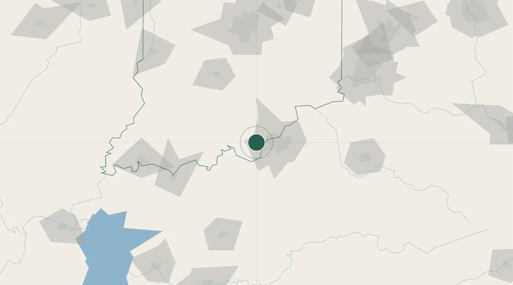
Lanesville
38.2333°, -85.9833°
569
Population
2
Transport functions
Transport Functions
Port
Multimodal
Hub Profile
Place type
Populated place
Region
Indiana
Population
569
Time zone
America/Kentucky/Louisville
Elevation
213 m
Location
Nearby Logistics Neighbours
Cities
- 1New Middletown11 km
- 2New Salisbury14 km
- 3Shively15 km
- 4Ramsey17 km
- 5Starlight21 km
Ports
- 1Gary393 km
- 2Michigan City397 km
- 3Indiana Harbor401 km
- 4Calumet Harbor411 km
- 5Chicago429 km
Airports
- 1Louisville Muhammad Ali International Airport23 km
- 2Bowman Field28 km
- 3Godman Army Air Field36 km
- 4Columbus Municipal Airport115 km
- 5Monroe County Airport115 km
Trade Zones
- 1FTZ No. 029 Louisville17 km
- 2FTZ No. 047 Boone County125 km
- 3FTZ No. 177 Evansville145 km
- 4FTZ No. 046 CIncinnati160 km
- 5FTZ No. 072 Indianapolis168 km
DatabookThe Record of Consolidated Knowledge
United States beyond logistics?