UN/LOCODE hub · United States
USIVE
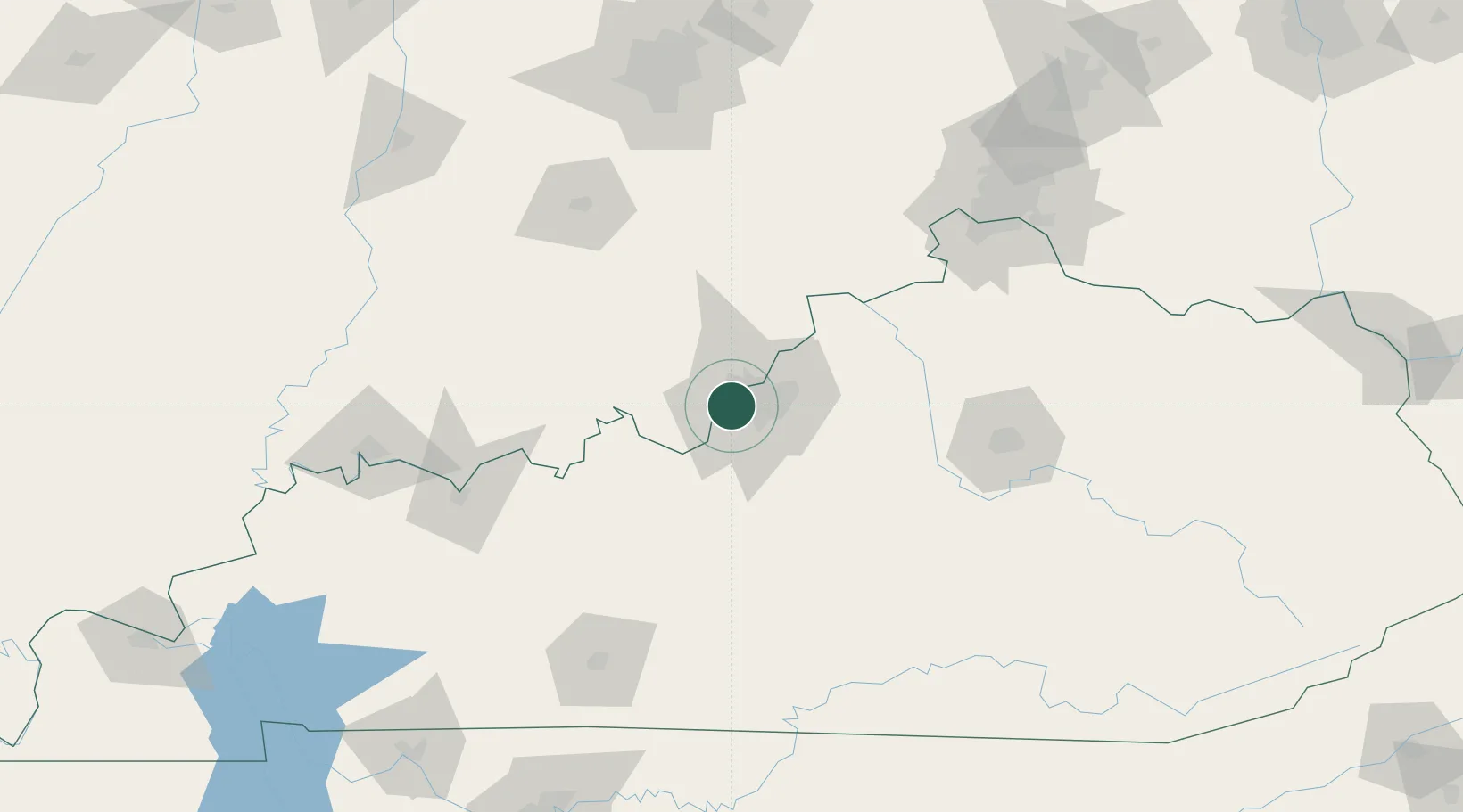
Shively
38.2000°, -85.8167°
15,713
Population
3
Transport functions
Transport Functions
Rail
Road
Multimodal
Hub Profile
Place type
Populated place
Region
Kentucky
Population
15,713
Time zone
America/Kentucky/Louisville
Elevation
139 m
Location
Nearby Logistics Neighbours
Cities
- 1Louisville8 km
- 2Whitner12 km
- 3Fairdale13 km
- 4Lanesville15 km
- 5Brooks17 km
Ports
- 1Gary401 km
- 2Michigan City404 km
- 3Indiana Harbor409 km
- 4Calumet Harbor419 km
- 5Chicago437 km
Airports
- 1Louisville Muhammad Ali International Airport8 km
- 2Bowman Field14 km
- 3Godman Army Air Field35 km
- 4Blue Grass Airport107 km
- 5Columbus Municipal Airport118 km
Trade Zones
- 1FTZ No. 029 Louisville8 km
- 2FTZ No. 047 Boone County117 km
- 3FTZ No. 046 CIncinnati151 km
- 4FTZ No. 177 Evansville159 km
- 5FTZ No. 072 Indianapolis175 km
DatabookThe Record of Consolidated Knowledge
United States beyond logistics?