Medium airport · United States
Bowman FieldKLOU
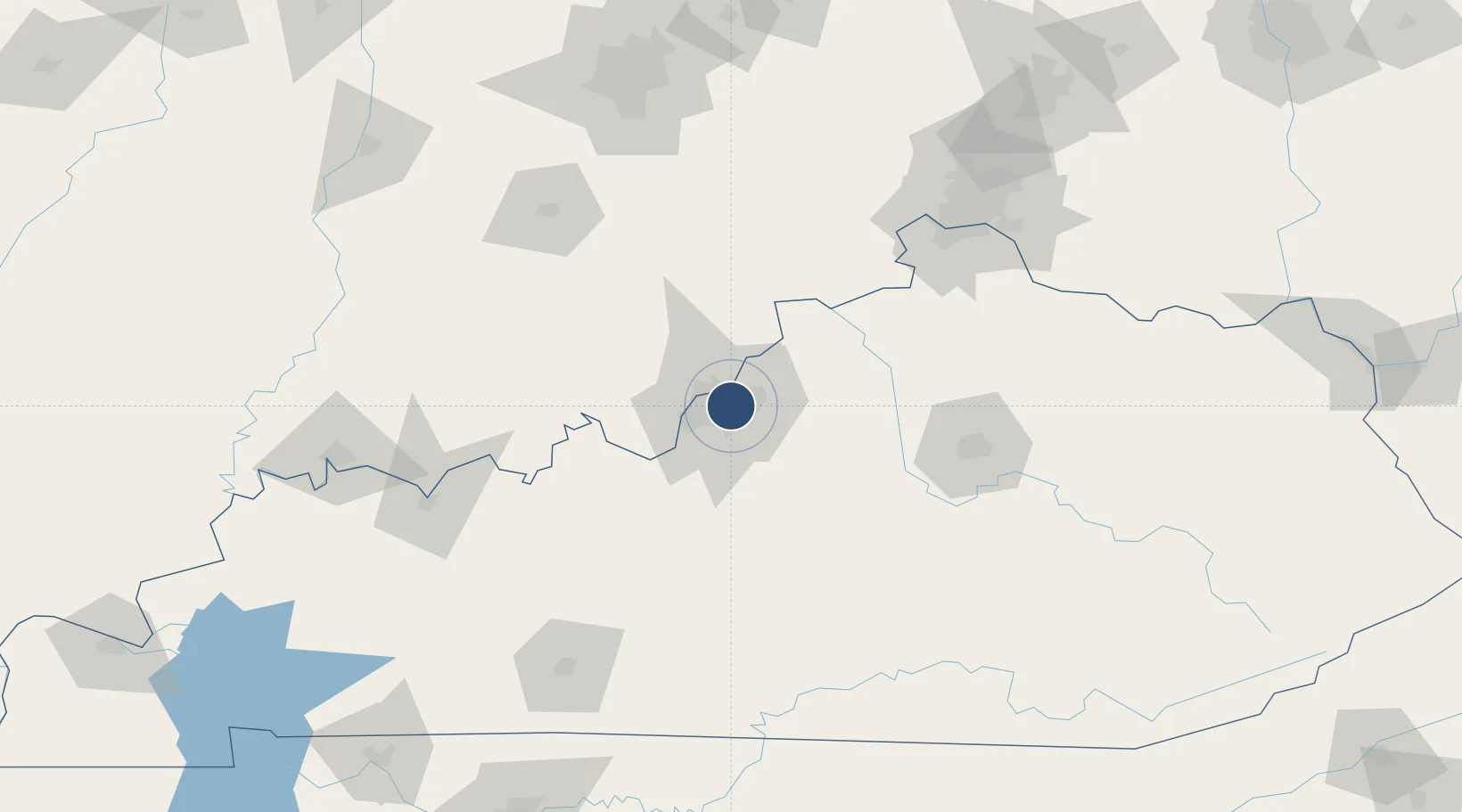
38.2280°, -85.6637°
4,358 ft
Longest runway
2
Runways
546 ft
Elevation
Runway & Layout

Radio Frequencies
ATIS
112.2 MHz
TWR
119.5 MHz
GND
121.8 MHz
CLD
118.9 MHz
CLNC DEL
CTAF
119.5 MHz
A/D
123.675 MHz
LOUISVILLE APP/DEP
RDO
122.2 MHz
LOUISVILLE RDO
UNIC
122.95 MHz
UNICOM
Navaids
BQM VOR-DME Bowman 112.20 MHz
IIU VORTAC Louisville 114.80 MHz
LK NDB Laang 414 kHz
Runways · 2
| Runway | Dimensions | Surface | True heading | Lit |
|---|---|---|---|---|
| 06/24 | 4,358 × 75ft | Asphalt | 060° | ✓ |
| 15/33 | 3,580 × 75ft | ASPH-G | 143° | ✓ |
Airport Specifications
IATA code
LOU
ICAO code
KLOU
Airport class
Medium airport
Scheduled service
No
Runway surface
Asphalt
Served city
Louisville
Location
Nearby Logistics Neighbours
Airports
Cities
- 1Whitner5 km
- 2Louisville7 km
- 3Shively14 km
- 4Fairdale16 km
- 5Brooks19 km
Ports
- 1Gary403 km
- 2Michigan City404 km
- 3Indiana Harbor411 km
- 4Calumet Harbor421 km
- 5Toledo429 km
Trade Zones
- 1FTZ No. 029 Louisville13 km
- 2FTZ No. 047 Boone County106 km
- 3FTZ No. 046 CIncinnati139 km
- 4FTZ No. 177 Evansville173 km
- 5FTZ No. 072 Indianapolis176 km
DatabookThe Record of Consolidated Knowledge
United States beyond logistics?