UN/LOCODE hub · United States
USLUI
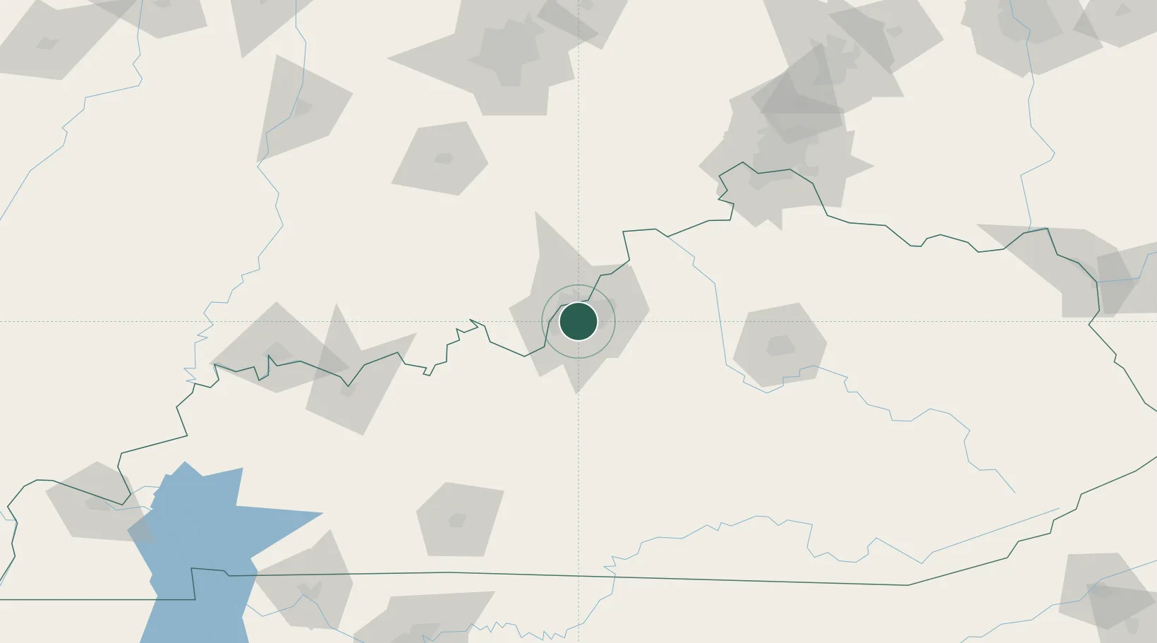
Louisville
38.1816°, -85.7239°
624,444
Population
3
Transport functions
Transport Functions
Port
Road
Airport
Hub Profile
Place type
Provincial seat
Region
Kentucky
Population
624,444
Time zone
America/Kentucky/Louisville
Elevation
142 m
Logistics facilities
26
Location
Nearby Logistics Neighbours
Cities
- 1Whitner4 km
- 2Shively8 km
- 3Fairdale9 km
- 4Brooks13 km
- 5Lanesville23 km
Ports
- 1Gary406 km
- 2Michigan City407 km
- 3Indiana Harbor414 km
- 4Calumet Harbor423 km
- 5Toledo436 km
Airports
Trade Zones
- 1FTZ No. 029 Louisville12 km
- 2FTZ No. 047 Boone County113 km
- 3FTZ No. 046 CIncinnati147 km
- 4FTZ No. 177 Evansville167 km
- 5FTZ No. 072 Indianapolis179 km
DatabookThe Record of Consolidated Knowledge
United States beyond logistics?