Medium airport · United States
Blue Grass AirportKLEX
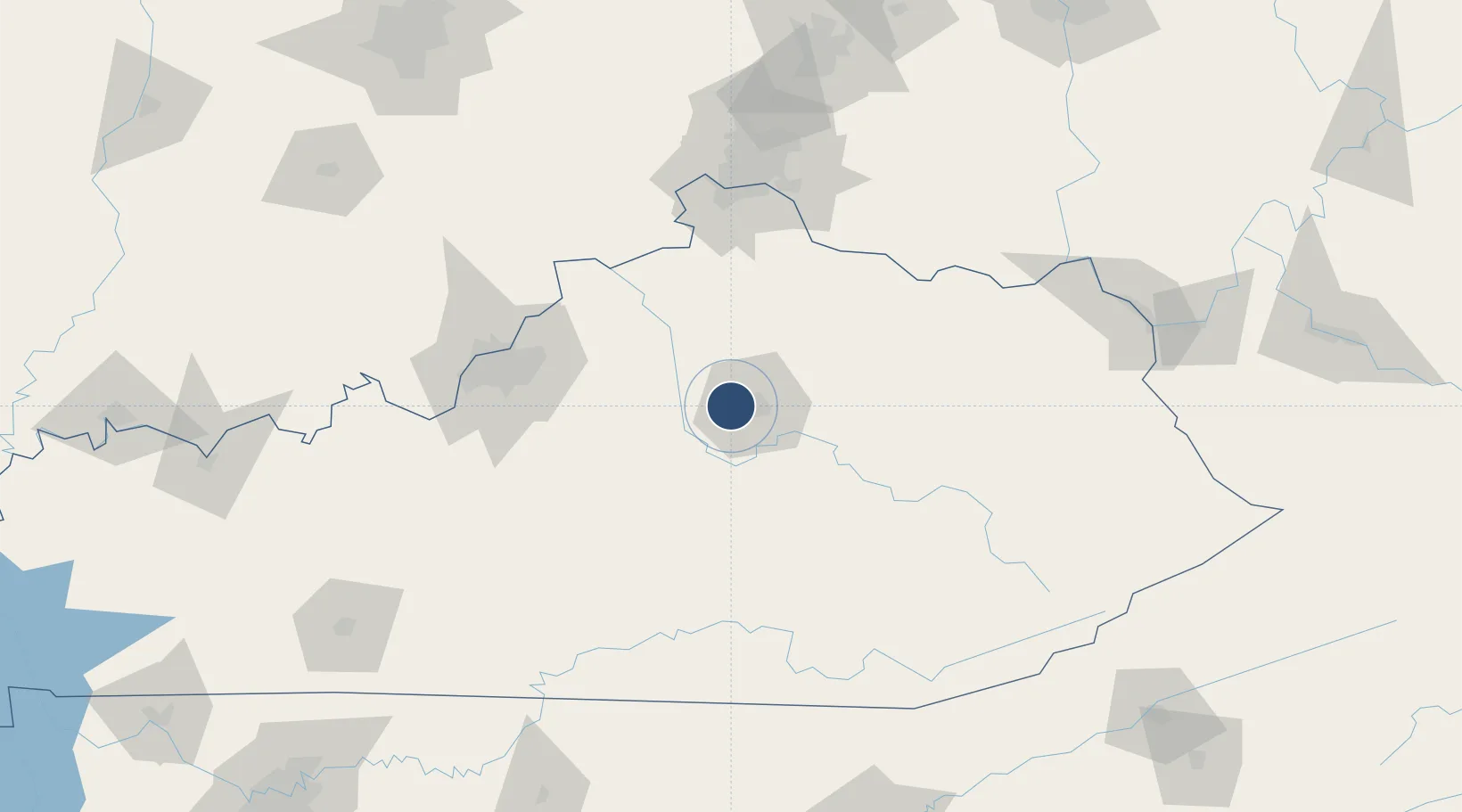
38.0351°, -84.6067°
7,004 ft
Longest runway
2
Runways
979 ft
Elevation
Runway & Layout

Radio Frequencies
ATIS
126.3 MHz
TWR
119.1 MHz
LEXINGTON TWR
GND
121.9 MHz
CLD
132.35 MHz
CLNC DEL
A/D
120.15 MHz
LEXINGTON APP/DEP
UNIC
122.95 MHz
UNICOM
Navaids
HYK VORTAC Lexington 112.60 MHz
LE NDB Blayd 242 kHz
Runways · 2
| Runway | Dimensions | Surface | True heading | Lit |
|---|---|---|---|---|
| 04/22 | 7,004 × 150ft | Asphalt | 042° | ✓ |
| 09/27 | 4,000 × 75ft | concrete | 087° | ✓ |
Airport Specifications
IATA code
LEX
ICAO code
KLEX
Airport class
Medium airport
Scheduled service
Yes
Runway surface
Asphalt
Served city
Lexington
Location
Nearby Logistics Neighbours
Airports
Cities
- 1Millersburg51 km
- 2Stanford58 km
- 3Clay City65 km
- 4Springfield66 km
- 5Jeffersonville68 km
Ports
- 1Sandusky413 km
- 2Port Clinton413 km
- 3Huron413 km
- 4Toledo419 km
- 5Vermilion424 km
Trade Zones
- 1FTZ No. 047 Boone County106 km
- 2FTZ No. 029 Louisville107 km
- 3FTZ No. 046 CIncinnati119 km
- 4FTZ No. 054 Clinton County171 km
- 5FTZ No. 100 Dayton198 km
DatabookThe Record of Consolidated Knowledge
United States beyond logistics?