UN/LOCODE hub · United States
USFIA
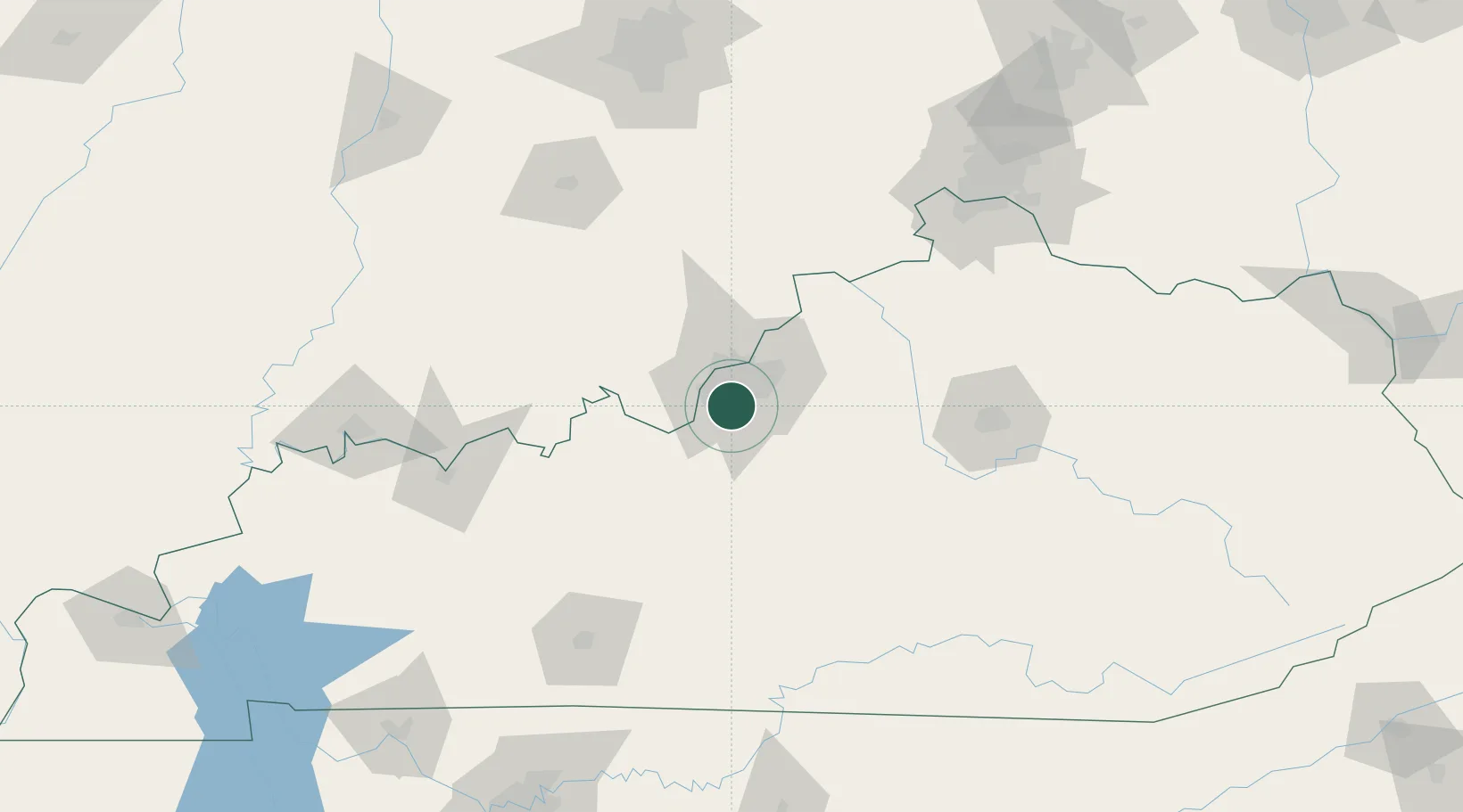
Fairdale
38.1000°, -85.7500°
8,148
Population
3
Transport functions
Transport Functions
Rail
Road
Multimodal
Hub Profile
Place type
Populated place
Region
Kentucky
Population
8,148
Time zone
America/Kentucky/Louisville
Elevation
145 m
Location
Nearby Logistics Neighbours
Cities
- 1Brooks5 km
- 2Louisville9 km
- 3Whitner11 km
- 4Shively13 km
- 5Lanesville25 km
Ports
- 1Gary414 km
- 2Michigan City416 km
- 3Indiana Harbor422 km
- 4Calumet Harbor431 km
- 5Toledo445 km
Airports
- 1Louisville Muhammad Ali International Airport8 km
- 2Bowman Field16 km
- 3Godman Army Air Field29 km
- 4Blue Grass Airport100 km
- 5Columbus Municipal Airport130 km
Trade Zones
- 1FTZ No. 029 Louisville19 km
- 2FTZ No. 047 Boone County122 km
- 3FTZ No. 046 CIncinnati155 km
- 4FTZ No. 177 Evansville164 km
- 5FTZ No. 072 Indianapolis187 km
DatabookThe Record of Consolidated Knowledge
United States beyond logistics?