Medium airport · United States
Central Kentucky Regional AirportKI39
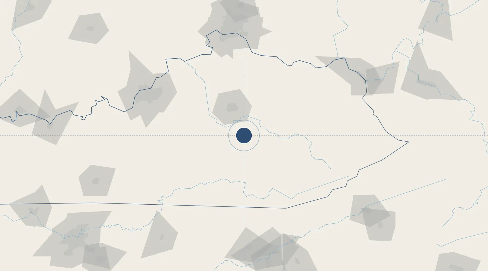
37.6308°, -84.3323°
5,001 ft
Longest runway
1
Runways
1,002 ft
Elevation
Runway & Layout

Radio Frequencies
A/D
120.15 MHz
LEXINGTON APP/DEP
FSS
122.3 MHz
LOUISVILLE RDO
UNIC
122.8 MHz
CTAF/UNICOM
Runways · 1
| Runway | Dimensions | Surface | True heading | Lit |
|---|---|---|---|---|
| 18/36 | 5,001 × 100ft | Asphalt | 175° | ✓ |
Airport Specifications
ICAO code
KRGA
Airport class
Medium airport
Scheduled service
No
Runway surface
Asphalt
Served city
Richmond
Location
Nearby Logistics Neighbours
Airports
- 1Blue Grass Airport51 km
- 2London-Corbin Airport/Magee Field65 km
- 3Lake Cumberland Regional Airport69 km
- 4Julian Carroll Airport90 km
- 5Bowman Field134 km
Cities
- 1Stanford31 km
- 2Irvine33 km
- 3Clay City45 km
- 4Stanton48 km
- 5East Bernstadt53 km
Ports
- 1Huron446 km
- 2Sandusky447 km
- 3Port Clinton448 km
- 4Vermilion455 km
- 5Toledo459 km
Trade Zones
- 1FTZ No. 029 Louisville147 km
- 2FTZ No. 047 Boone County156 km
- 3FTZ No. 046 CIncinnati164 km
- 4FTZ No. 148 Knoxville183 km
- 5FTZ No. 054 Clinton County206 km
DatabookThe Record of Consolidated Knowledge
United States beyond logistics?