Medium airport · United States
Godman Army Air FieldKFTK
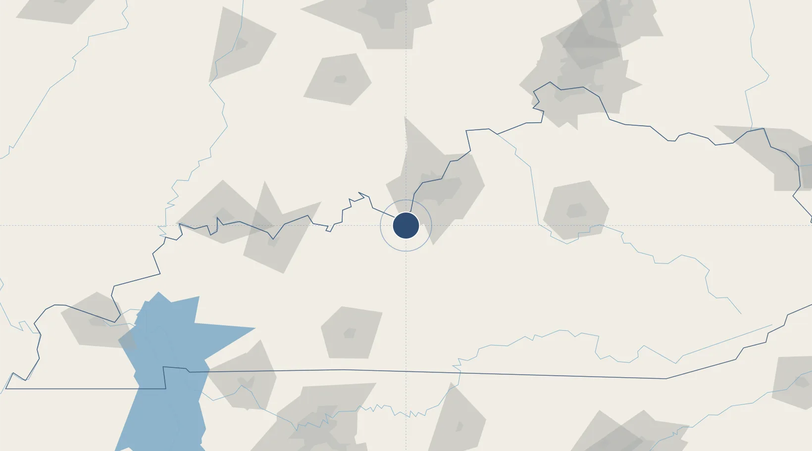
37.9071°, -85.9721°
5,184 ft
Longest runway
3
Runways
756 ft
Elevation
Runway & Layout

Radio Frequencies
ATIS
109.6 MHz
TWR
126.8 MHz
GND
121.9 MHz
CTAF
126.8 MHz
A/D
123.675 MHz
LOUISVILLE APP/DEP
MISC
23.75 MHz
AIR TO AIR
OPS
126.2 MHz
BASE OPS
Navaids
FTK VOR-DME Fort Knox 109.60 MHz
GOI NDB Godman 396 kHz
MYS VOR Mystic 108.20 MHz
Runways · 3
| Runway | Dimensions | Surface | True heading | Lit |
|---|---|---|---|---|
| 18/36 | 5,184 × 150ft | Asphalt | 177° | ✓ |
| 15/33 | 4,853 × 75ft | Asphalt | 148° | ✓ |
| 05/23 | 1,900 × 90ft | Asphalt | 046° | — |
Airport Specifications
IATA code
FTK
ICAO code
KFTK
Airport class
Medium airport
Scheduled service
No
Runway surface
Asphalt
Served city
Fort Knox
Location
Nearby Logistics Neighbours
Airports
Cities
- 1Mauckport23 km
- 2New Middletown28 km
- 3Brooks29 km
- 4Fairdale29 km
- 5Shively35 km
Ports
- 1Gary429 km
- 2Michigan City433 km
- 3Indiana Harbor436 km
- 4Calumet Harbor445 km
- 5Chicago463 km
Trade Zones
- 1FTZ No. 029 Louisville43 km
- 2FTZ No. 177 Evansville144 km
- 3FTZ No. 047 Boone County151 km
- 4FTZ No. 046 CIncinnati184 km
- 5FTZ No. 072 Indianapolis204 km
DatabookThe Record of Consolidated Knowledge
United States beyond logistics?