Transport Functions
Road
Multimodal
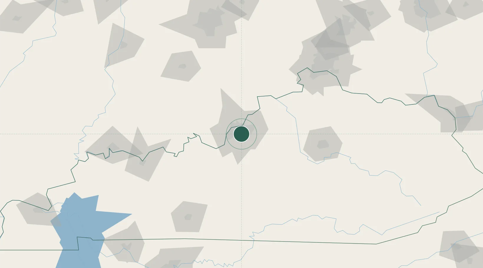
Hub Profile
Place type
Populated place
Region
Kentucky
Time zone
America/Kentucky/Louisville
Elevation
145 m
Location
Nearby Logistics Neighbours
Cities
- 1Louisville4 km
- 2Fairdale11 km
- 3Shively12 km
- 4Brooks13 km
- 5Speed27 km
Ports
- 1Gary407 km
- 2Michigan City408 km
- 3Indiana Harbor415 km
- 4Calumet Harbor425 km
- 5Toledo434 km
Airports
Trade Zones
- 1FTZ No. 029 Louisville14 km
- 2FTZ No. 047 Boone County111 km
- 3FTZ No. 046 CIncinnati144 km
- 4FTZ No. 177 Evansville170 km
- 5FTZ No. 072 Indianapolis180 km
DatabookThe Record of Consolidated Knowledge
United States beyond logistics?